On the Western Front – Part 4. Villers-Bretonneux and Péronne

This is my fourth post on the World War I battlefields where my grandfather Will Mathers (1893-1953) served from 1916 to1918. See here, here, here, and here for previous posts.

After Flanders, Tom and Will spent December 2017 until March 2018 well behind the front lines near Boulogne-sur-mer in the Pas-de-Calais. They were sent to the front at Villers-Bretonneux in late March 1918.
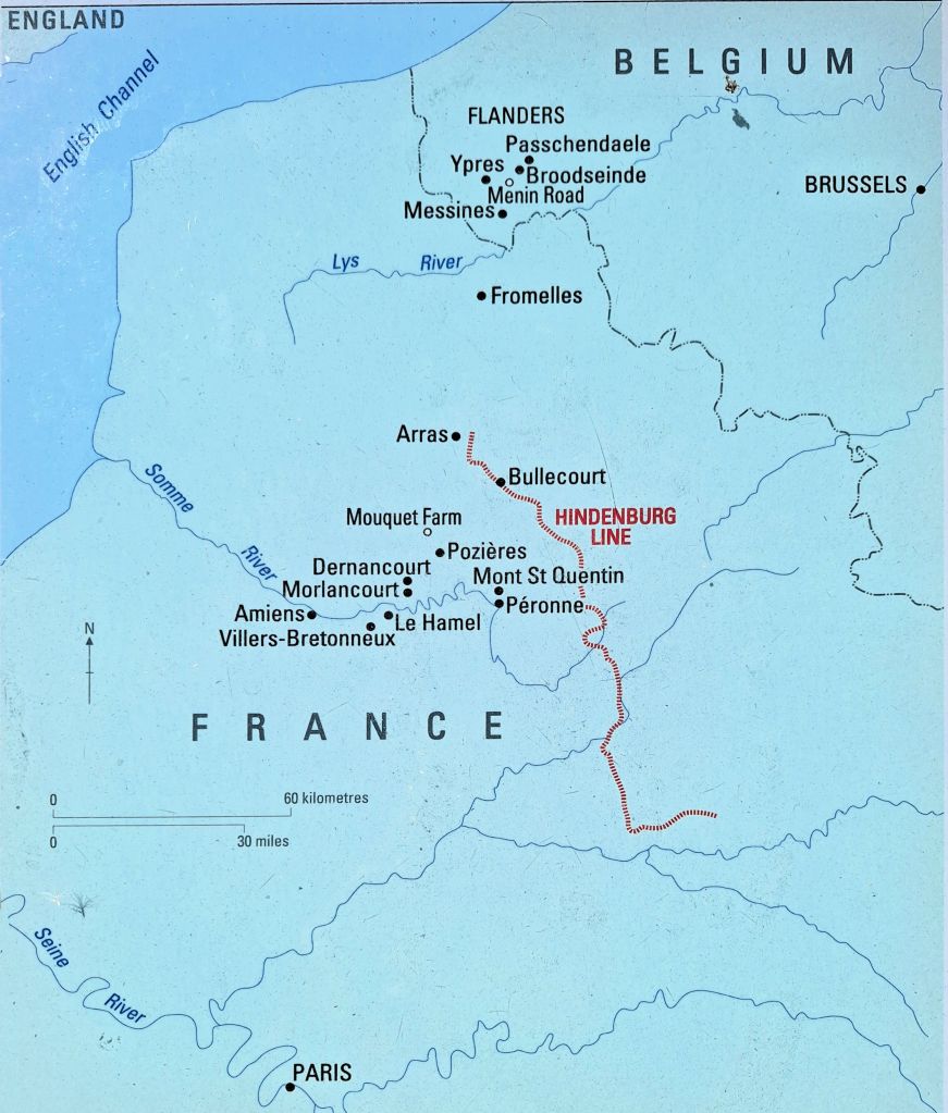
The Western Front – Flanders and the Somme.
The Germans pushed the front line to Le Hamel and Villers-Bretonneux in March-April 1918

On 21 March 1918, the Germans launched an offensive against Allied forces around the Somme. Within two weeks they had advanced around 65 km, but were halted at Villers-Bretonneux by British and Australian troops on 4 and 5 April 1918. On 24 April, a renewed German attack captured the town, but that night the 13th and 15th Australian Brigades counter attacked from the north and south, driving the Germans from the town and nearby woodland. These battles were fought across the ground on which the Villers-Bretonneux Military Cemetery now stands.
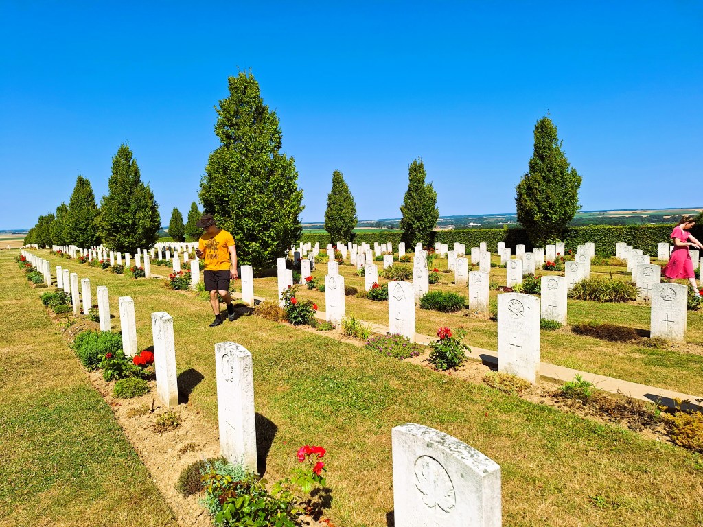
Villers-Bretonneux Military Cemetery
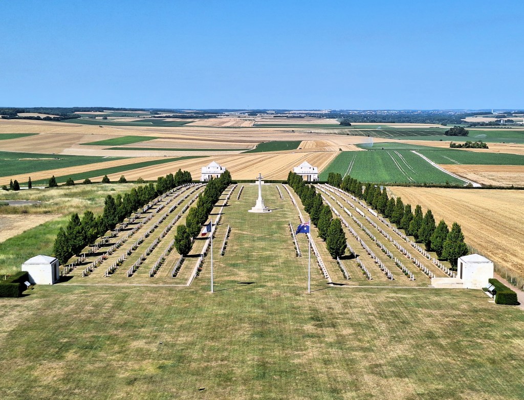
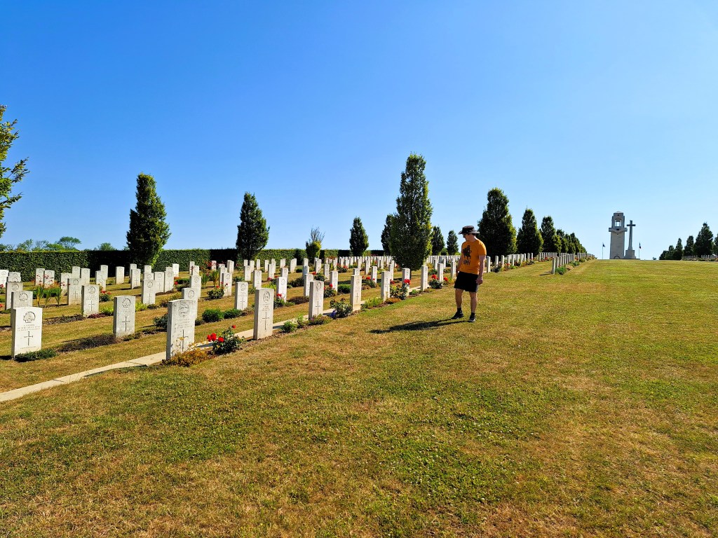
Villers-Bretonneux Military Cemetery with the Australian National Memorial in the background

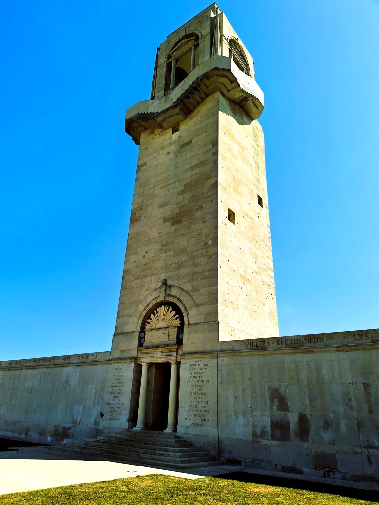
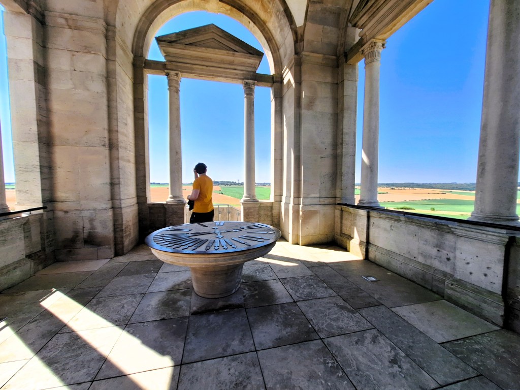
The Cemetery contains more than 2100 graves of Commonwealth servicemen of the First World War, of whom more than 600 remain unidentified. At the back of the cemetery is the Australian National Memorial, which honours the Australian soldiers who served in France and Belgium. It consists of a central tower, with spectacular views of the surrounding countryside, flanked by wing walls commemorating the 10,796 Australian who died in France and who have no known grave. Along the upper edges of the Memorial, the battle honours of major engagements involving Australian troops in France and Belgium are inscribed.
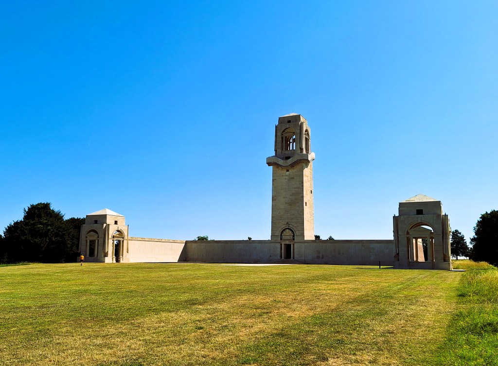
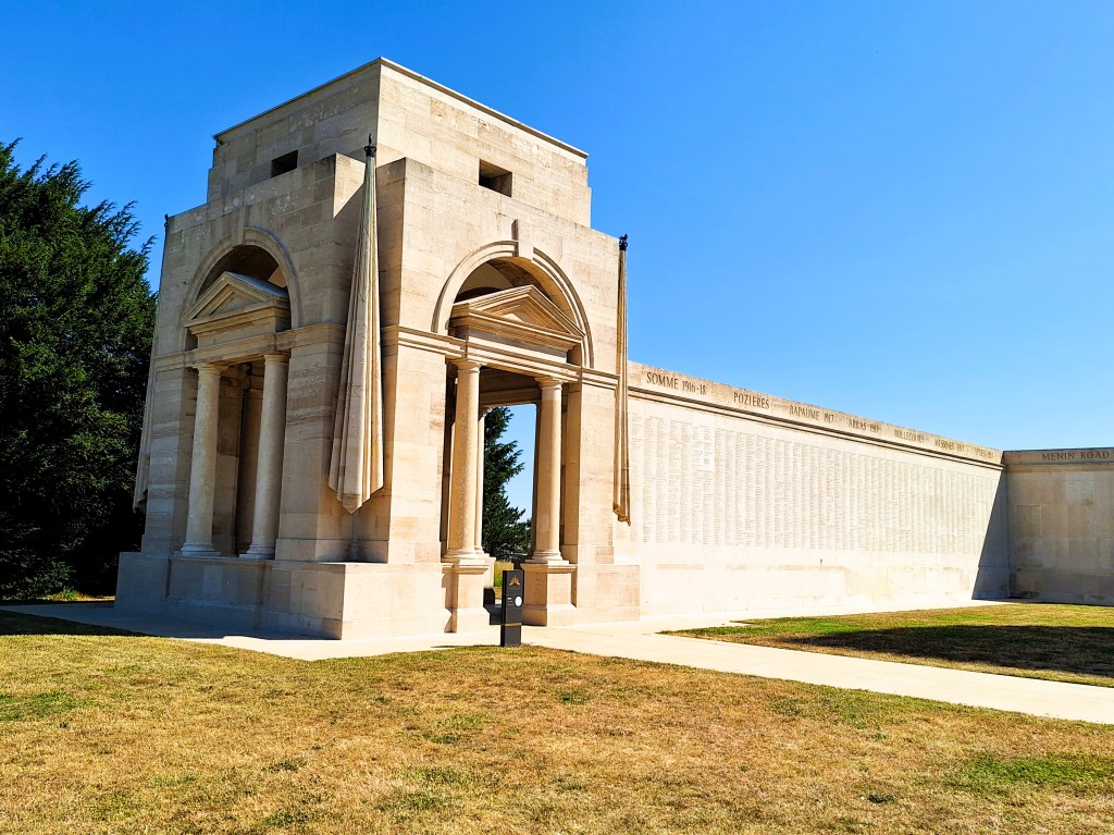
The Australian National Memorial at Villers-Bretonneux
The central tower of the Australian National Memorial
The view west over the Cemetery from the top of the Australian National Memorial tower.
The view south towards Villers-Bretonneux from the Memorial Tower
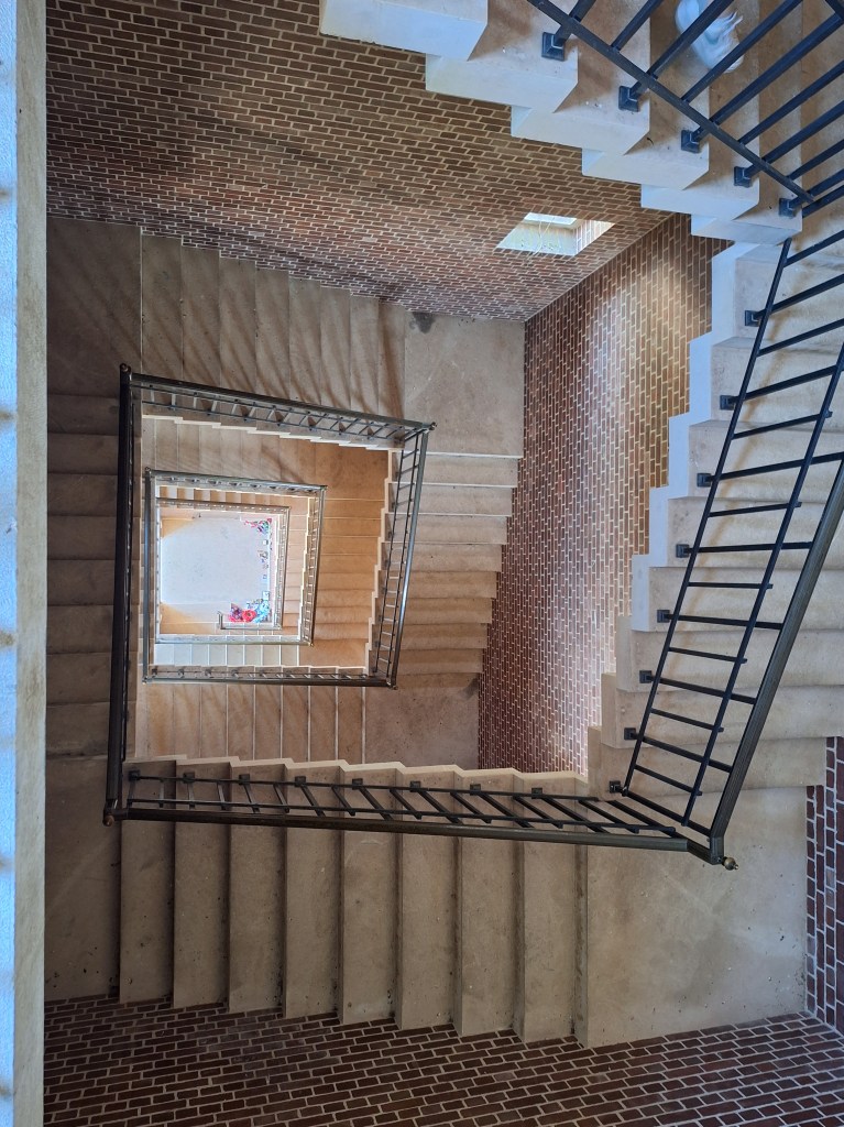
Looking down the Tower staircase

On 21 April, 1918 the 8th Australian Field Ambulance, including Will and Tom, were sent to relieve the 15th Australian Field Ambulance at Hamelet, a village a few kilometres north-east of Villers-Bretonneux. The German air ace Baron von Richthofen (the Red Baron) was shot down nearby on that day. The field where he crashed is across the road from the Australia Corps Memorial (see further below).

The Red Baron was the top German air ice of the First World War. With some 80 victories to his name, he shot down more aircraft in the war than any other pilot. His name re refers to his red Fokker triplane. His squadron was known as the Flying Circus, many decades later inspiring the name Monty Python’s Flying Circus. On the morning of 21st of April 1918, the red Baron was pursuing a British aircraft, and had another Canadian aircraft on his tail. He flew extremely low and was killed by machine gun fire from the 24th Australian Machine Gun Company.
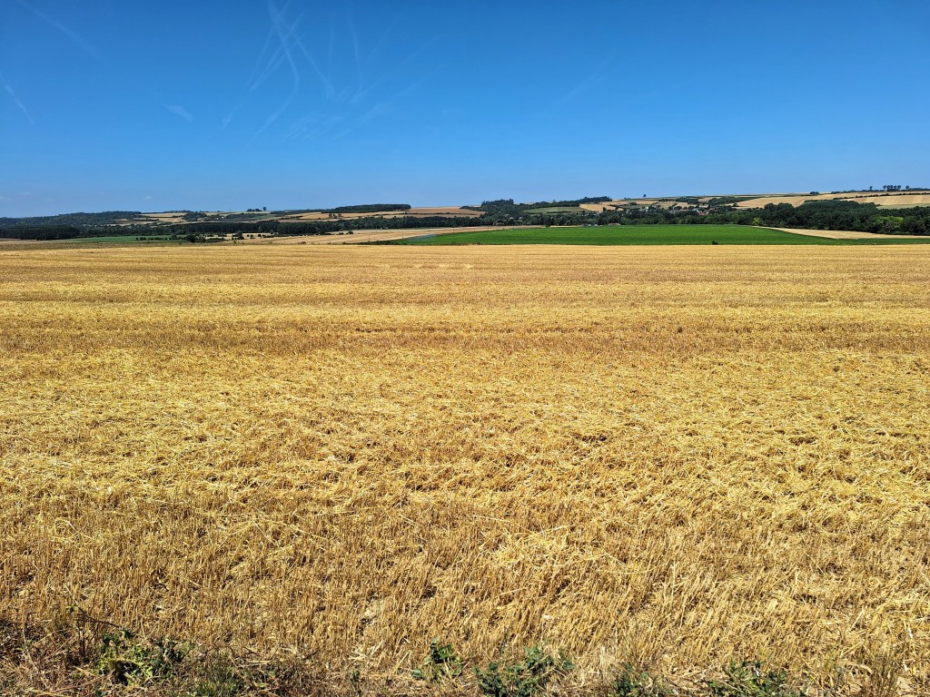
The field where the Red Baron was shot down, seen from the Australia Corps Memorial

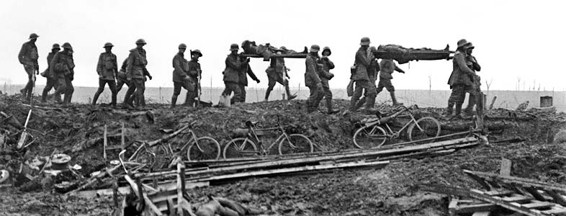
Two days later, Will and Tom were both gassed on the battlefield, and Will and Tom were gassed a second time on 30 April, suffering gas burns all over their bodies. After a couple of weeks to recover, they manned an aid post at Villers-Betonneux, carrying men back to the post from the front line under heavy shelling.

The Australia Corps Memorial is on a slight rise to the east of the village of Le Hamel. The memorial honours all those who served with the AIF in France and Belgium and bears the names of nearly 11,000 of their number who fell in France and have known no one grave. Around 3800 of those named here were killed during the battle of the Somme in July and August 1916. Another further 2800 fell in April and May 1917 at Bullecourt (Battle of the Hindenburg Line) and more than 2100 were lost in 1918 in the Battle of Le Hamel.
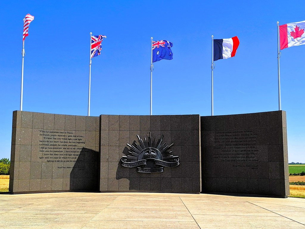
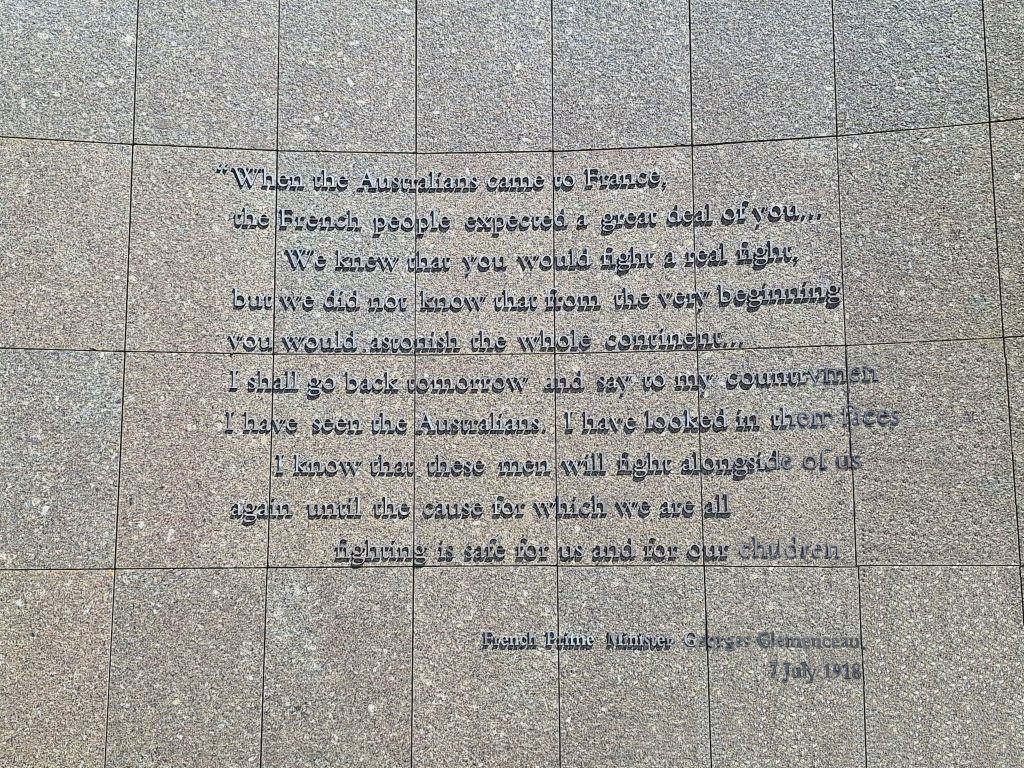
Australia Corps Memorial near Le Hamel
Quotation of French Prime Minister Georges Clemenceau on side panel of the Memorial

The Australia Corps Memorial is located at a section of German trenches, known to them as Wolfsburg, captured by the Australians early in the morning on 4 July 1918. The Australians occupied these trenches for about five weeks until they attacked from here in the great Battle of Le Hamel on 8 August 1918.
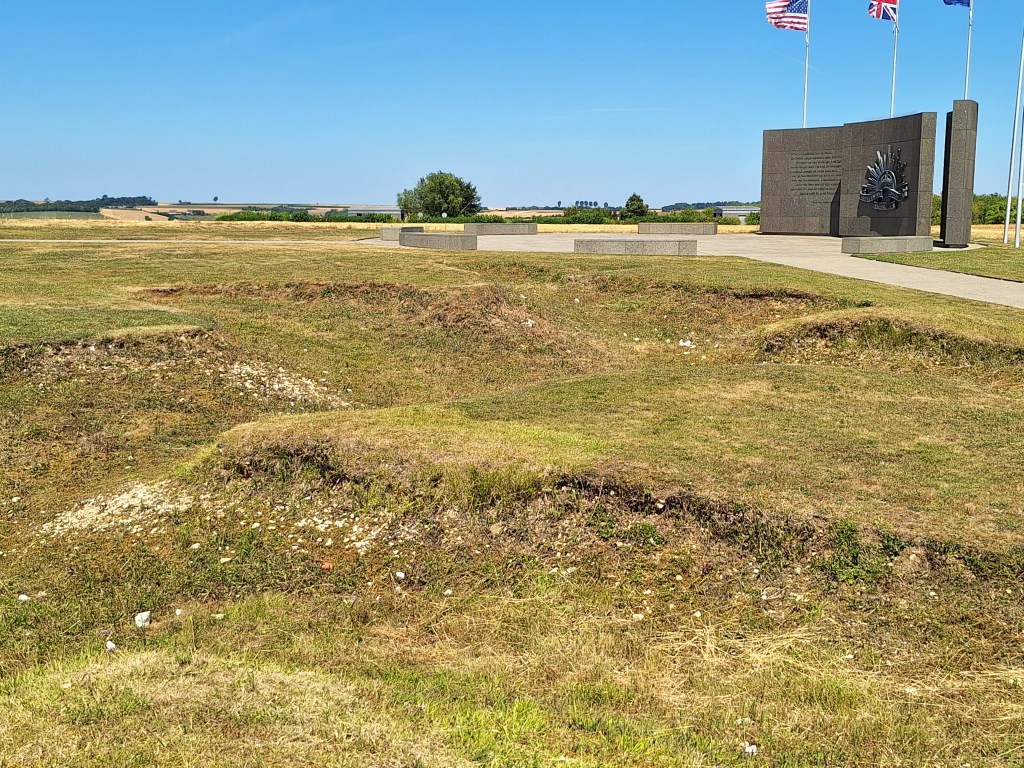
German trenches still visible near the Australia Corps Memorial

At 4:20 am on 8 August 1918, around 50,000 Commonwealth, French and American troops began a surprise assault on German lines to the east of armies. To give the newly arrived American Expeditionary Force (AEF) combat experience, the five Australian infantry brigades involved were augmented by four companies from US Army battalions. Hamel was the first time during the war that American soldiers were commanded operationally by non-American officers.

Attacking through dense fog they were well equipped with Lewis guns, trench mortars and rifle launched grenades. A creeping artillery barrage helped to shield the infantry, while enemy guns were silenced by gas and explosive shells.  Assisting the assault troops were more than 550 armoured vehicles, including new Mark 5 and fast Whippet tanks which had moved into position in secret, their engine noise disguised by aircraft flying overhead. The Germans assumed the planes were trying to give them a sleepless night but had no clue about the coming attack.
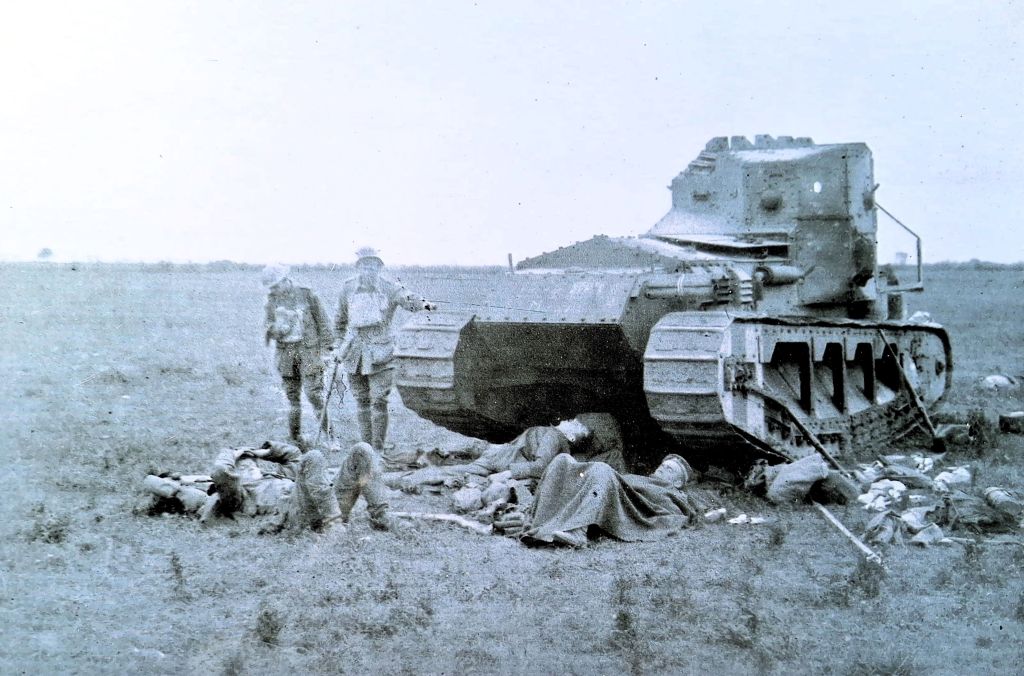
Wounded Australians of the 15th Brigade, and wounded German prisoners
sheltered beside a British Tank on August 9th, 1918.  Australian War Memorial E02880.

General Sir John Monash (1865-1931) was an Australian civil engineer who took part in the Gallipolo campaign and in May 1918 became commander of the Australia Corps, at that time the largest corps on the Western Front. Monash planned a combined campaign of infantry and armoured vehicles, including 60 combat and four supply tanks. The plan called for a creeping barrage in which the artillery barrage moves slowly in front of the advancing troops, protecting them by keeping the defenders under cover. Monash was adamant that infantry should not be sacrificed in an unprotected advance. The objectives were all achieved in 93 minutes, three minutes longer than Monash’s calculated battle time. The Battle of Le Hamel has since become famous as a model for a completely successful all-arms attack.

The Allies consolidated their new positions during the day and advanced another 300 metres during the night. In the morning of 5 August, they took another 700 German prisoners. The Germans counter-attacked at 22:00 that night supported by phosgene and mustard gas bombardments. At 2 am on 6 July, the two Australian battalions and the attached Americans counter-attacked and overwhelmed the experienced German storm-troopers with grenades and clubs. The shocked Germans were forced back, restoring the Allied line and releasing captured Australian stretcher-bearers.
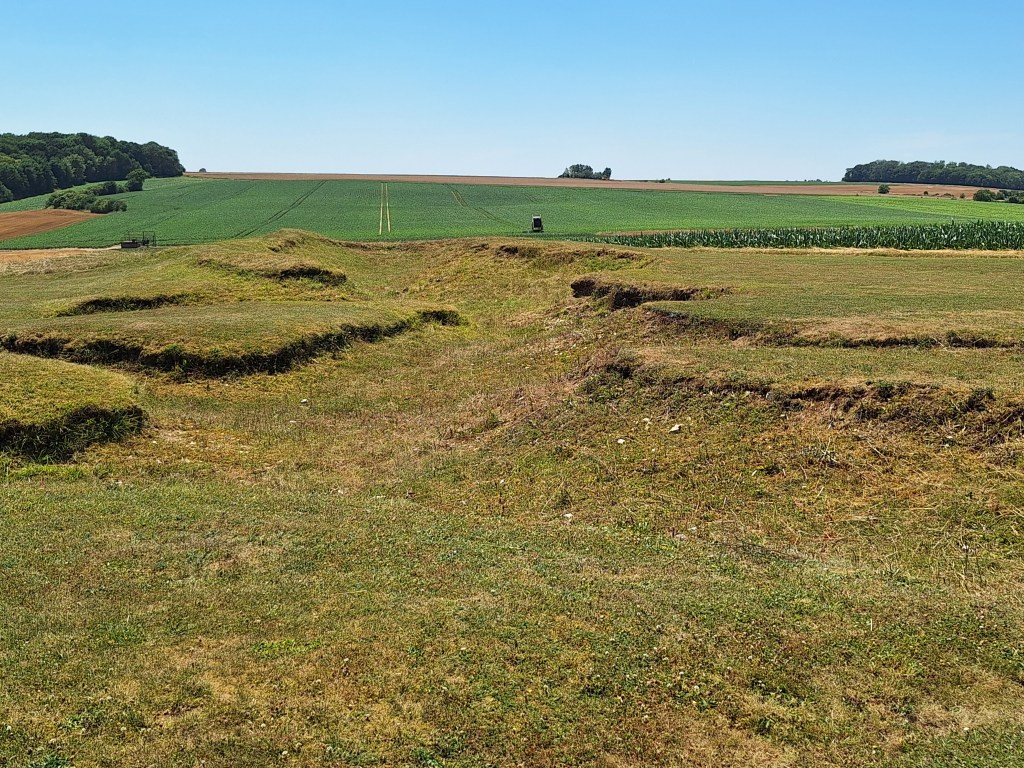
The Wolfburg trenches close to the Australia Corps Memorial

Over 4 days of fighting the Allies advanced as far as 13 kilometres in places. Some 20,000 Commonwealth soldiers were killed or wounded. The French army suffered around 24,000 casualties. Total German casualties may have been as high as 75,000, including more than 30,000 taken prisoner. Over the following weeks, a series of hard fought battles took place over the plains and uplands of the Somme, and by mid September, the Allies had recovered all the territory they had lost in March. The advance begun here did not cease until the Armistice.
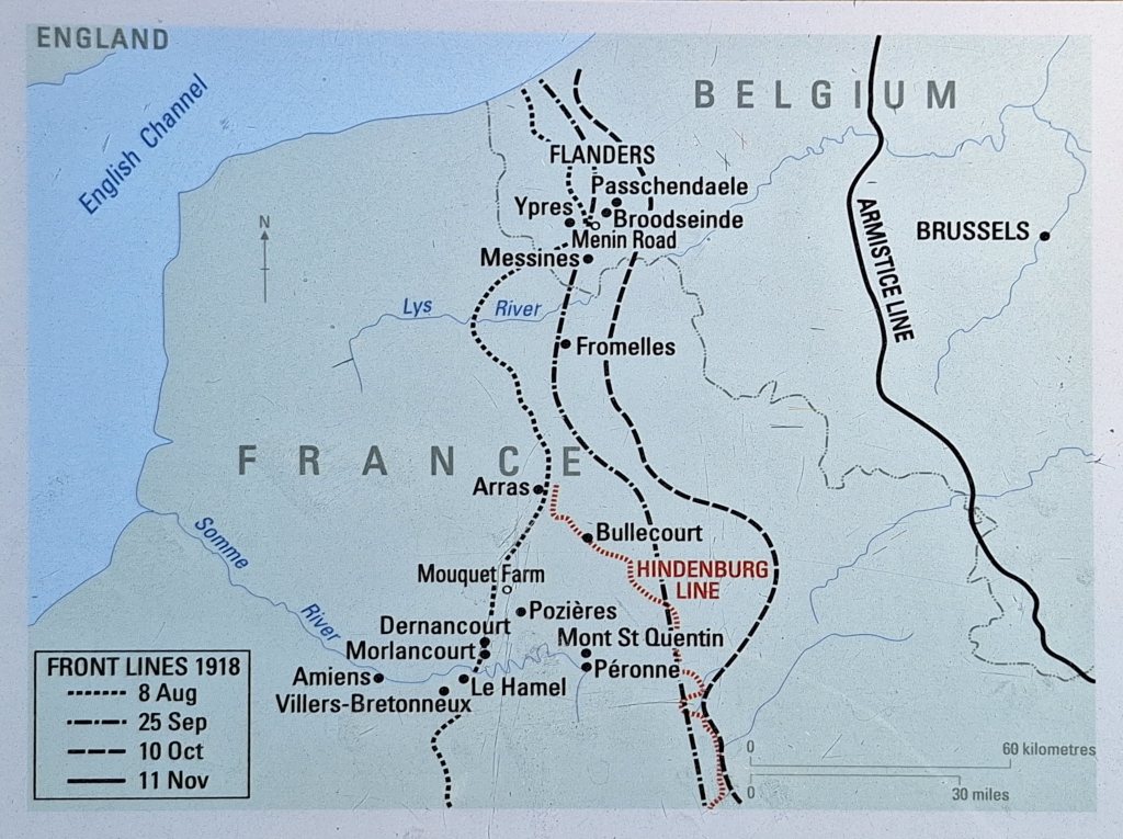
From 5 August to 12 September 1918, Will and Tom followed the fighting on the front line, from Mericourt and Raincourt to Le Hamel and on to Péronne. They slept where they could, in a field, in a trench, in sump holes. There were thousands of prisoners and booty. On 4 September, Will was at Péronne and was wounded in the leg by shrapnel but remained on duty. On 10 September they were relieved by 13th Australian Field Ambulance and marched out.

For the two days we spent on the Somme, we stayed in the centre of the Old Town of Péronne, a 100 metres from the Chateau de Péronne, now housing a major museum of the First World War. On our second day, we spent a couple of hours in the museum, well worth a visit. The next morning we headed north back to German-occupied Belgium.
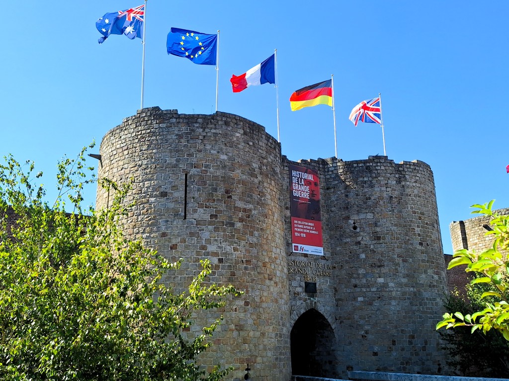
The main entrance to the Chateau de Péronne, flying the flags of the Allied nations and the EU.

On the Western Front – Part 3. Vimy Ridge and the Somme

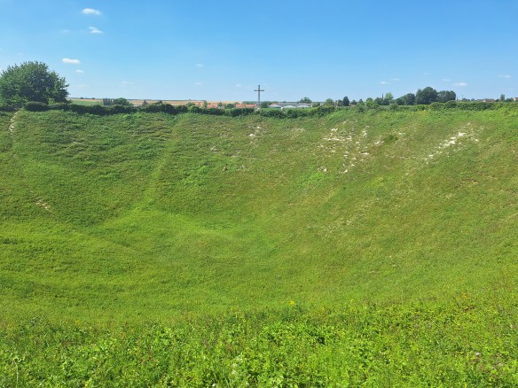
From Flanders we headed south across the French border to the WW1 battlefields of the Somme. For my previous posts on Flanders, see here and here. The Somme offensive commenced at 7.28 am 1 July 1916 with the explosion of a massive mine detonated beneath the German front line. The Lochnagar Crater is the largest of the still extant mine craters of the Western Front.

Lochnagar Crater

The Lochnagar mine was the largest of 19 mines, placed beneath the German front line to assist the British infantry advance and left a crater 21 m deep and 100 m wide, which was captured and held by British troops. While the blast itself killed relatively few Germans, the vast majority of deaths occurred during the following infantry assault.

Despite their colossal size, the Lochnagar and other mines failed sufficiently to neutralise the German defences in La Boisselle. The ruined village was meant to be captured in 20 minutes but by the end of the first day on the Somme, the British 3rd Corps divisions had suffered more than 11,000 casualties for no result.

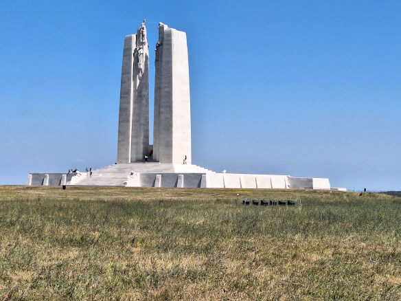
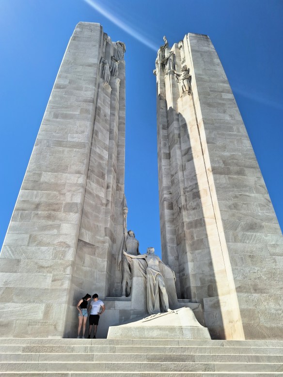
The Vimy Memorial

The spectacular Vimy Memorial sits at the highest point of Vimy Ridge, about eight kilometres northeast of Arras. It is a memorial to all Canadians who served their country in battle during the First World War, and particularly to the 60,000 who gave their lives in France. It also bears the names of 11,000 Canadian servicemen who died in France – many of them in the fight for Vimy Ridge – who have no known grave.

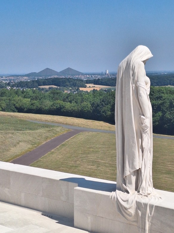
The figure of a cloaked young woman stands on top and at the centre of the front wall of the memorial and overlooks the Douai Plains. She has her head bowed, her eyes cast down, and her chin resting in one hand. The saddened figure of Canada Bereft, also known as Mother Canada, is a national personification of the young nation of Canada, mourning her dead.

Canada Bereft

The two pyramid-shaped hills in the distance are giant cone-shaped slag heaps, made of leftover rock from coal mining. When Felix saw them, he insisted we must climb them on our return trip to Belgium.
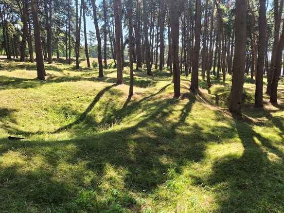
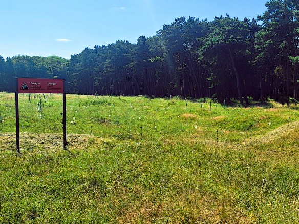
The ridge is pockmarked with mine and artillery craters.
Many undetonated shells remain in the ground, and affected areas are fenced off
with signs saying “No Entry – Undetonated explosives”

The ridge was a heavily fortified 7-kilometer hill held by the Germans. After previous French and British armies suffered around 150,000 casualties trying to take it, the Canadian Corps extensively planned their assault. They used aerial reconnaissance to construct a replica of the German trenches and bunkers, behind their front line. They trained extensively for weeks to develop an effective plan of battle. Unlike the British practice of briefing only officers on battle plans, the Canadians briefed every soldier, and they all knew what they had to do, irrespective of whether their officers were still leading them.
The Battle of Vimy Ridge (April 9–12, 1917) was one of the major battles in the Somme, where four divisions of the Canadian Corps fought together for the first time. This tactical victory against fortified German positions is considered a defining moment that forged a distinct Canadian national identity.
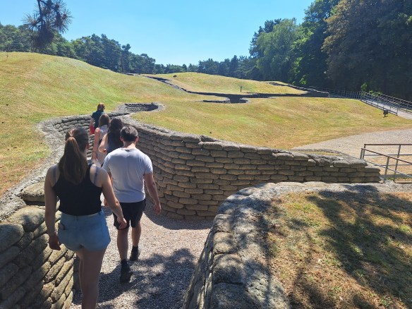
Part of the Canadian front-line trenches
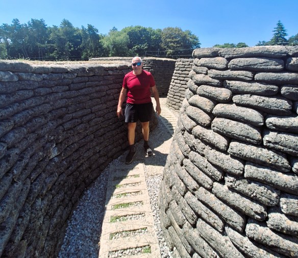
In the German front-line trenches only about 20 m from the Canadian trenches
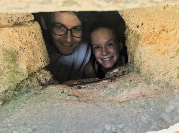
A machine-gun emplacement in the German trenches

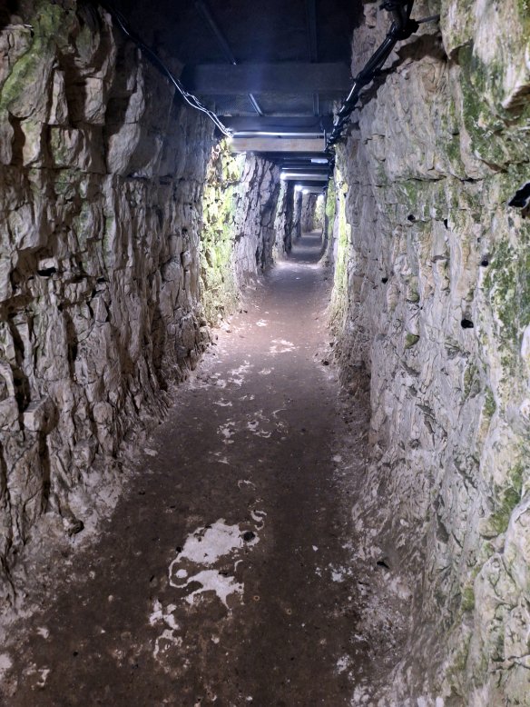
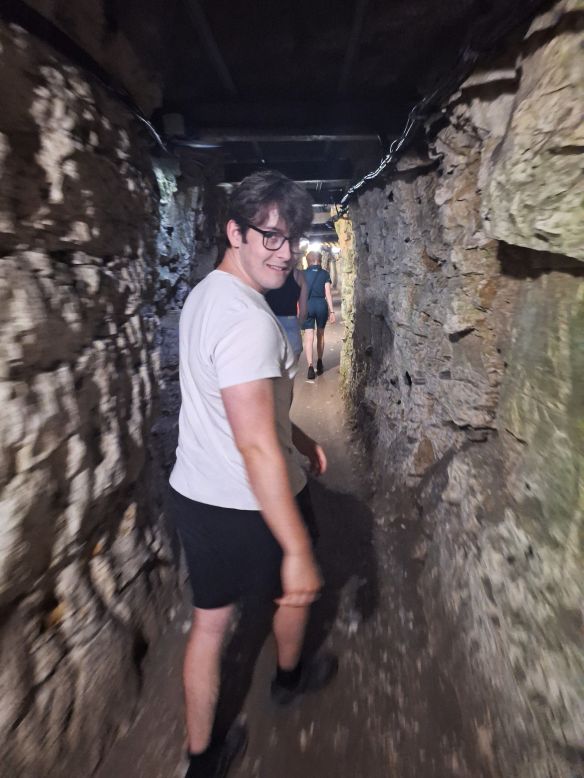
The Canadians extended a network of front-line trenches and tunnels constructed by the British. The tunnels were used to move troops, to connect underground dugouts and living quarters and for messengers to safely travel to and from the front lines. At Vimy Ridge, there were six kilometres of tunnels, and then longest tunnel was 1.6 km.

In one of the longer Canadian tunnels

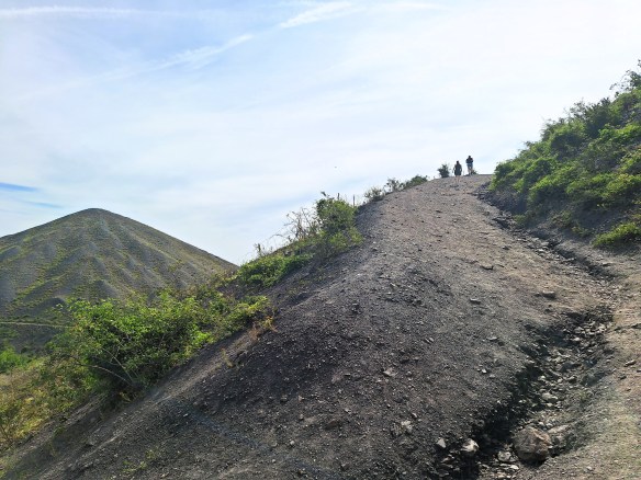
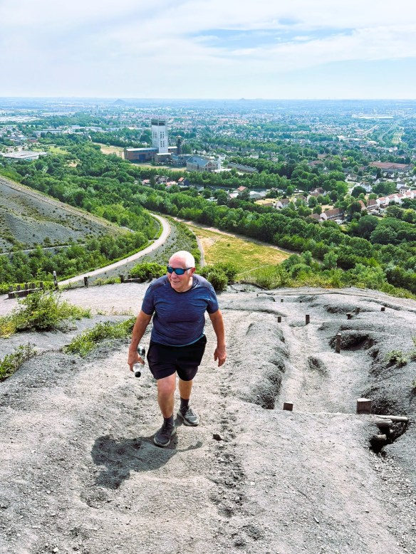
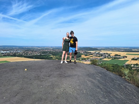
Two days later, as we headed back from the Somme to Belgium, we did a slight detour to visit the giant slag heaps of Loos-en-Gohelle, located about 12 km northwest of Vimy. These two slag heaps are the tallest artificial mountains in Europe. We climbed the highest one, to the summit 146 m above ground level. It is 2 metres taller than the second slag heap.

Ascending Europe’s tallest slag heap, second slag heap partly visible on left.
Approaching the summit.
On the summit. Slag heap tourism hits new heights in France
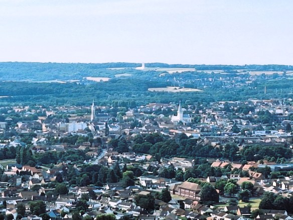
View south from the summit towards Vimy Ridge.
The Canadian Memorial is visible in the middle close to the horizon,

A visit to Uluru and Kata Tjuṯa (the Olgas)

In the last two weeks of July 2025, I took my younger son to central Australia to visit for his first the iconic desert landscape and to explore some of the spectacular desert and mountain scenery. I have visited central Australia a number of times when I was younger, with trips to Alice Springs and Uluru (Ayers Rock), Katherine Gorge and the Arnhem Land Escarpment.

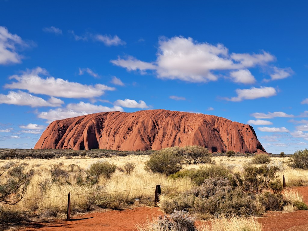
I have included links to previous posts about this trip and the end of this article. From Kings Canyon, we drove 330 km southwest to Uluru, formerly known as Ayers Rock, and perhaps the most famous landmark in Australia. As we headed towards Uluru, the land became extremely flat. The recent rain from the storm during the last night we were in Kings Canyon was widespread and had filled some of the shallow lakes that usually form only in the wet season.

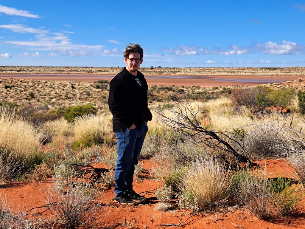
One of the shallow lakes we saw on the way to Uluru, an unusual sight in the dry season.
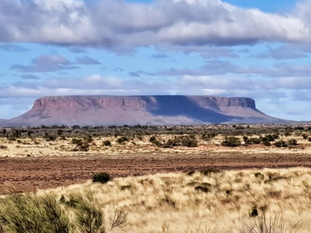
Mount Conner about 90 km before Uluru — aka Mount Fuluru because many people mistake it for Uluru.

We stayed at a tourist hotel in Yulara, a new settlement about 20 km from Uluru, built specifically to provide tourist accommodation and services, including an airport.

Approaching Uluru from Yulara.

This was my second visit to Uluru. The first was 45 years ago, one week before the dingo took Azaria in August 1980. That was also a memorable trip. One of my friends had found a pilot seeking to increase his flying hours, who was willing to fly the four of us from Sydney to Uluru in a light plane, all for the cost of the fuel. I think we paid a couple of hundred dollars each.

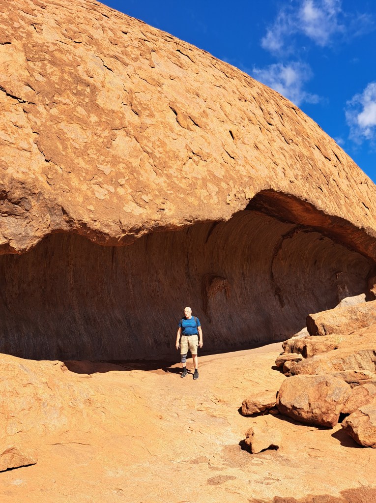
On that first trip, we slept in a cave at the base of Uluru, and the pilot slept under the wing of the aircraft. In those days, it was still possible to climb Uluru, and I climbed it before dawn the next day, to arrive at the summit just before sunrise and to see the shadow of Uluru stretching all the way to the horizon when the sun rose. My three friends were all rock climbers and had decided to do a free solo of Uluru on its other side. I waited on top till they arrived quite some time later, and they looked quite traumatized. It seems the gully they had chosen to climb ended on a steep face which was extremely exposed and pushed my friends well out of their comfort zone.

A brief anecdote. When first writing some notes about my first trip to Ayers Rock, I could not remember exactly which year the trip was, but I knew we were there the weekend before the dingo took the baby Azaria Chamberlain. The baby’s mother Lindy Chamberlain was convicted of murdering the baby, and spent three years in prison before the baby’s clothing was found in a dingo den, and she was exonerated. So I looked up this event on Wikipedia to check the date it occurred, and read the article. In the last paragraph it reported that Lindy and Michael Chamberlain had divorced after these event, Lindy remarried an American who lived in Australia, and the dingo changed its name to Sally and was adopted by a family in Florida. I went back to the article a few days later to get a screenshot for posterity, but unfortunately and eagle-eyed editor had removed the information on the dingo.

I am fairly sure that this cave at the base of Uluru is the one we slept in on my first trip to Uluru.
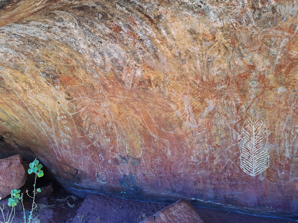
Aboriginal art on the wall of the cave.
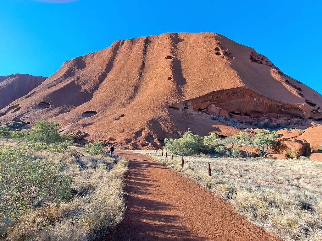
My son and I did a complete circuit around the base of Uluru, an 11 km walk.

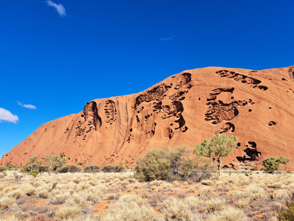
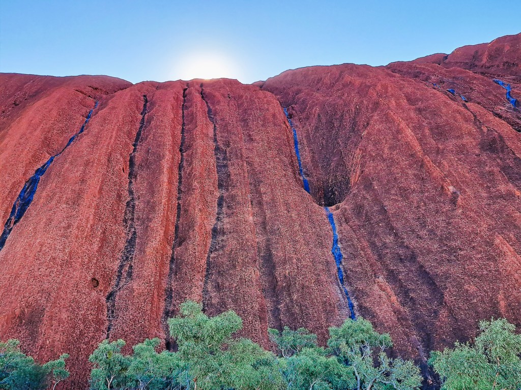
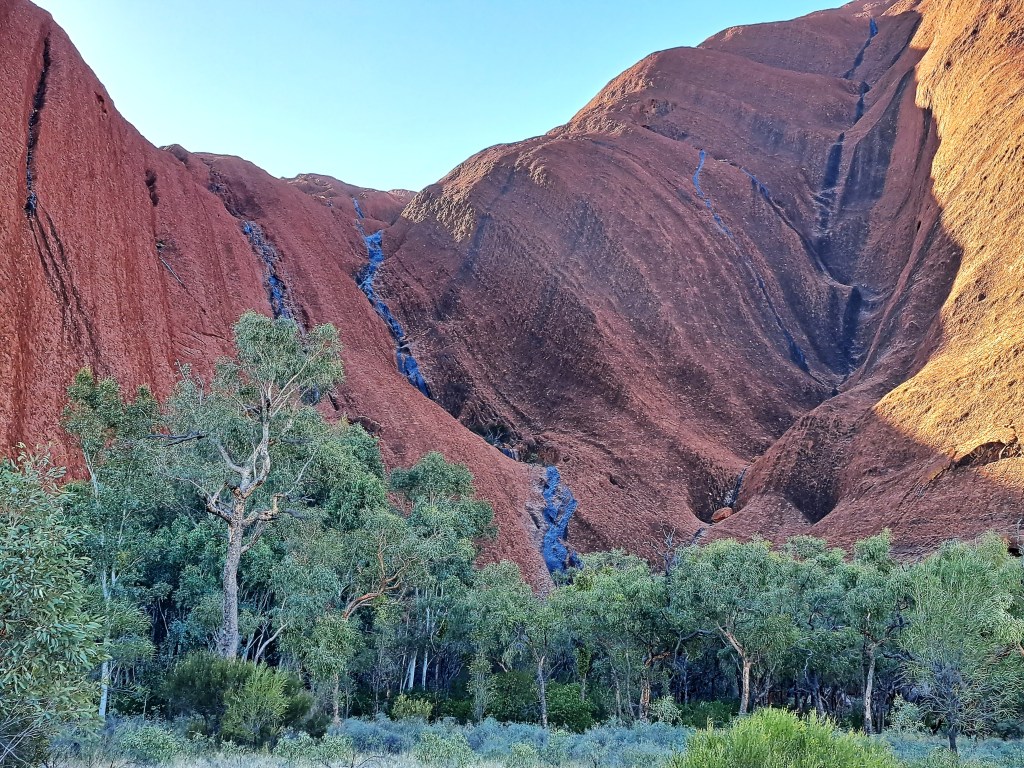
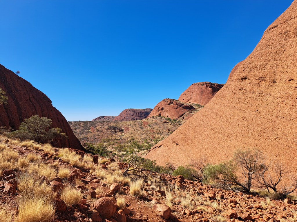
Our last night in Kings Canyon, there was a violent storm with strong wind and heavy rain. As a result there were waterfalls all over the Rock, apparently a rare sight in the dry season.

Waterfalls on the southern flanks of Uluru.

Climbing the Rock was banned in 2019. The track to the summit is still visible as a white line up the ridge that reaches the summit immediately above Felix. Back in 1980, I climbed Uluru via this route.The route was extremely steep towards the top, and there was a chain railing that climbers could use to prevent themselves slipping and falling. At least 37 people died while attempting to climb Uluru (Ayers Rock) since record-keeping began in the 1950s.

Westen end of Uluru, with the former climbing track visible as a white line of the ridge to the left of centre.

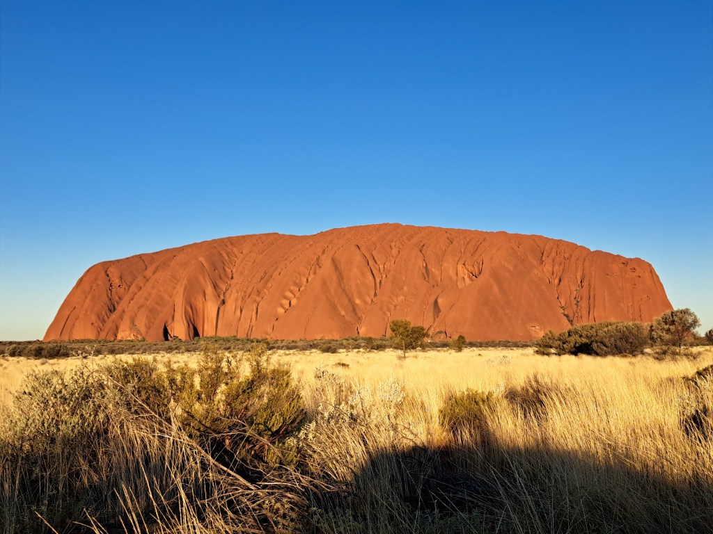
As we headed back to Yulara, the sun was getting low in the sky and turning the Rock red.

Late afternoon sun on Uluru.

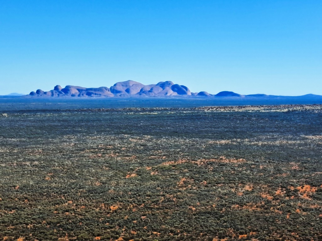
The next day we went out to Kata Tjuṯa (the Olgas), 56 km west of Uluru. This was my first land visit to them. On my first trip in 1980, the pilot had flown us out to the Olgas and we flew low over them getting superb views. I’m quite comfortable with the Aboriginal name for Ayers Rock, but I must admit I have trouble getting Kata Tjuta into my memory banks, and still think of these iconic rocks as the Olgas.

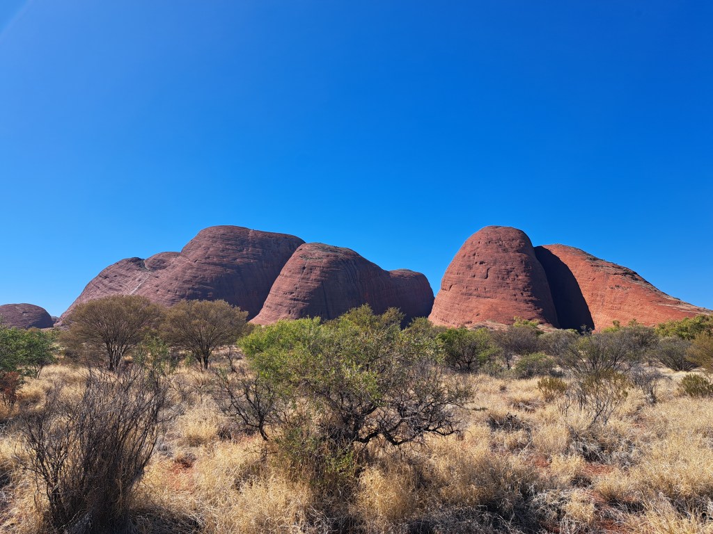
Kata Tjuṯa (the Olgas)/
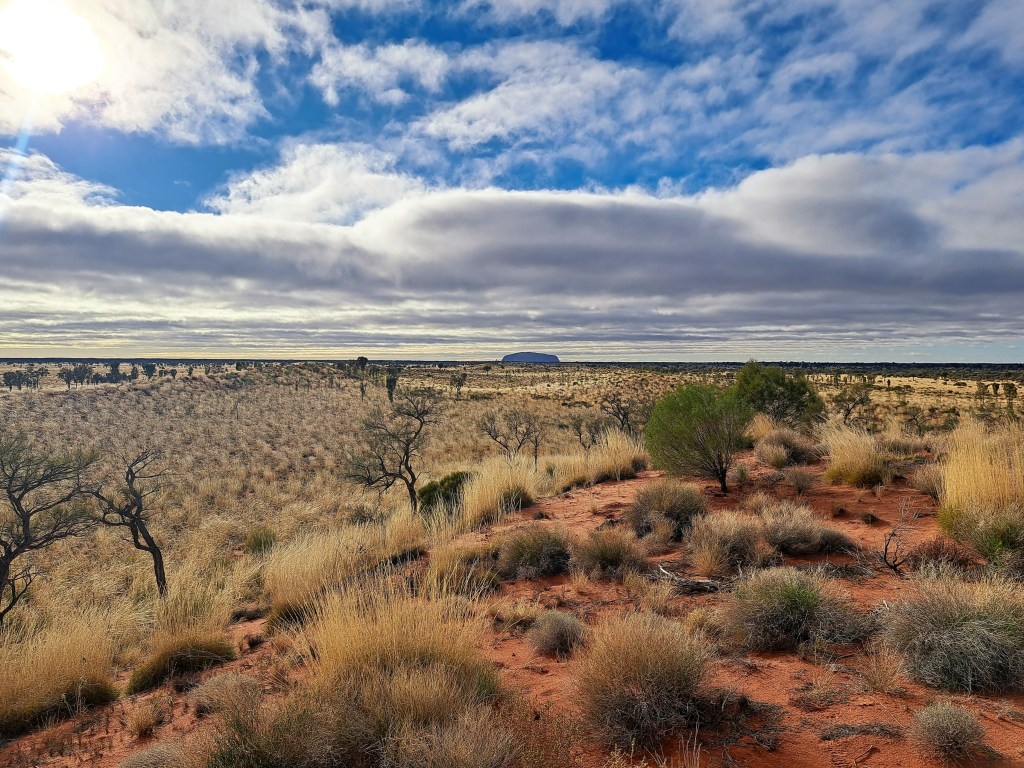
Looking back to Uluru from the Olgas.
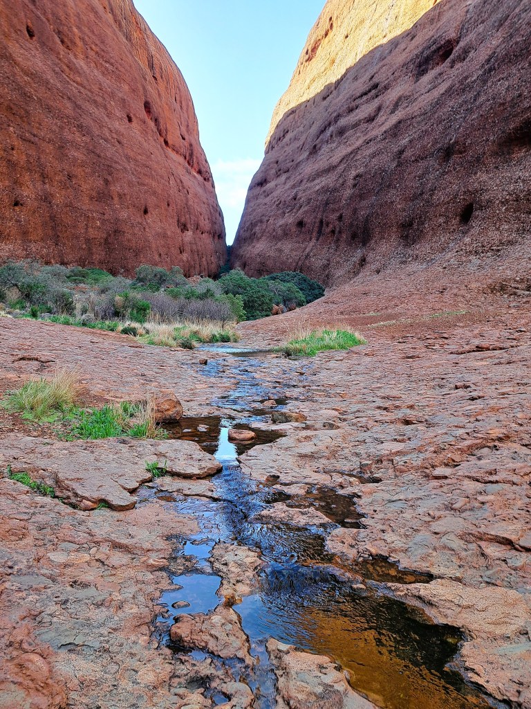
Flowing water in Walpa Gorge, with Mount Olga on the right.
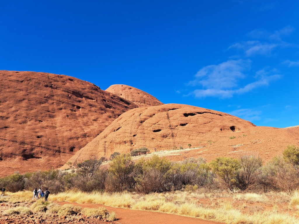
Walking towards the Valley of the Winds
View towards the Valley of the Winds
Looking back as we leave the Olgas to head back to Yulara

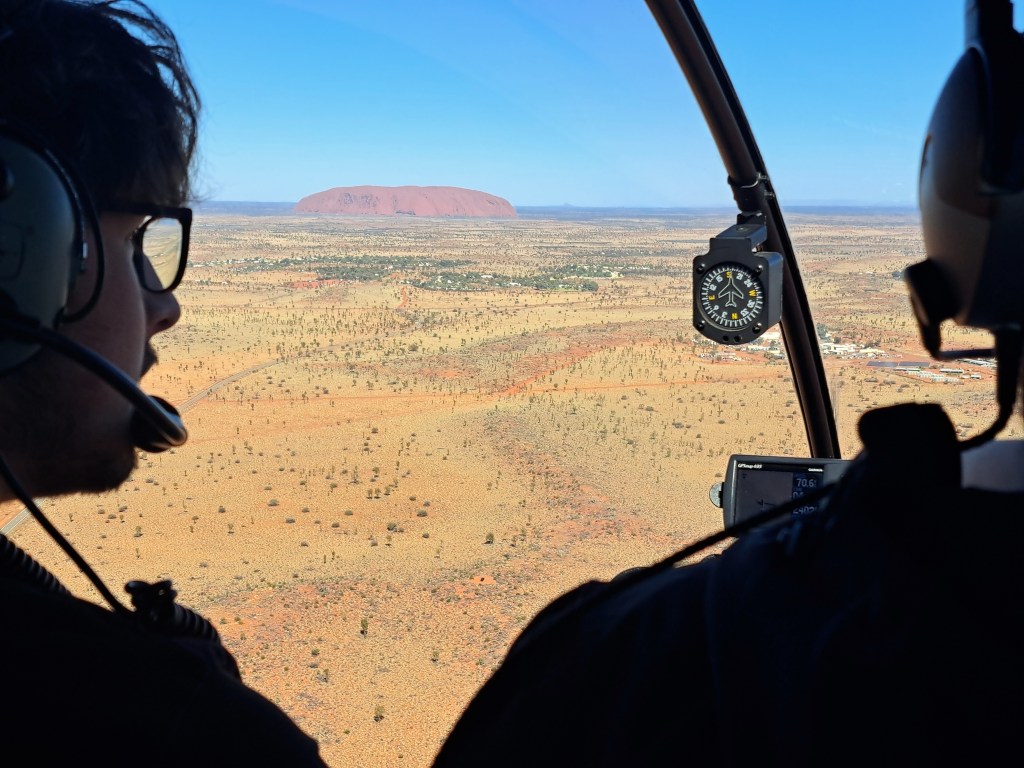
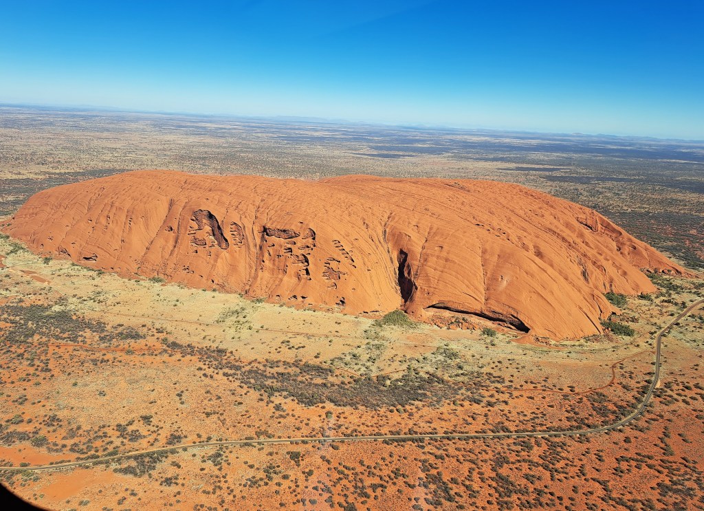
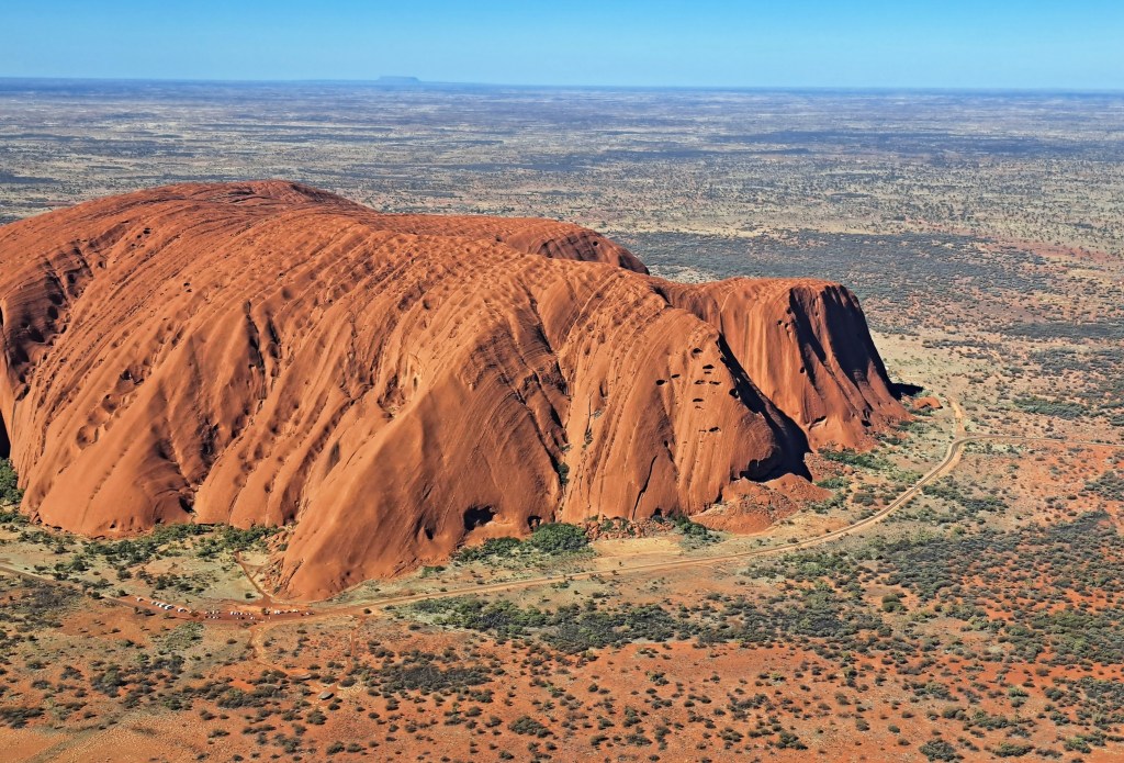
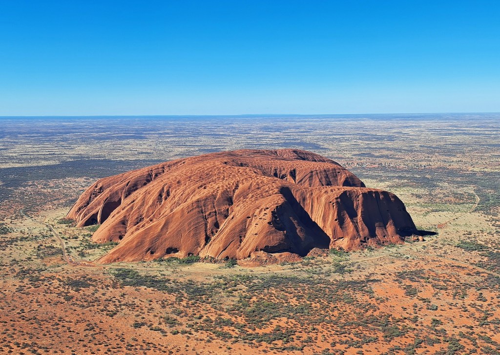
Seeing as we could not climb Uluru, we decided to do another short helicopter flight over it.

Heading towards Uluru in a small helicopter

The next day we drove from Uluru to Darwin, a 500 km trip. And spent two days in Darwin, a fascinating city well worth visiting. In the 1990s, I had been collaborating with the Northern Territory Health Department on a joint project and visited Darwin a number of times, so already was quite familiar with it. However, these two days we were able to delve into the history of Darwin, and particularly its experience of being attacked by the Japanese during World War II.  Perhaps I will do another post on that sometime.

Here are links to earlier posts on our explorations of central Australia in 2025.

A visit to Kings Canyon in central Australia Part 2

A visit to Kings Canyon in central Australia Part 1

A visit to the West MacDonnell Ranges of central Australia

A visit to Kings Canyon in Central Australia – Part 2

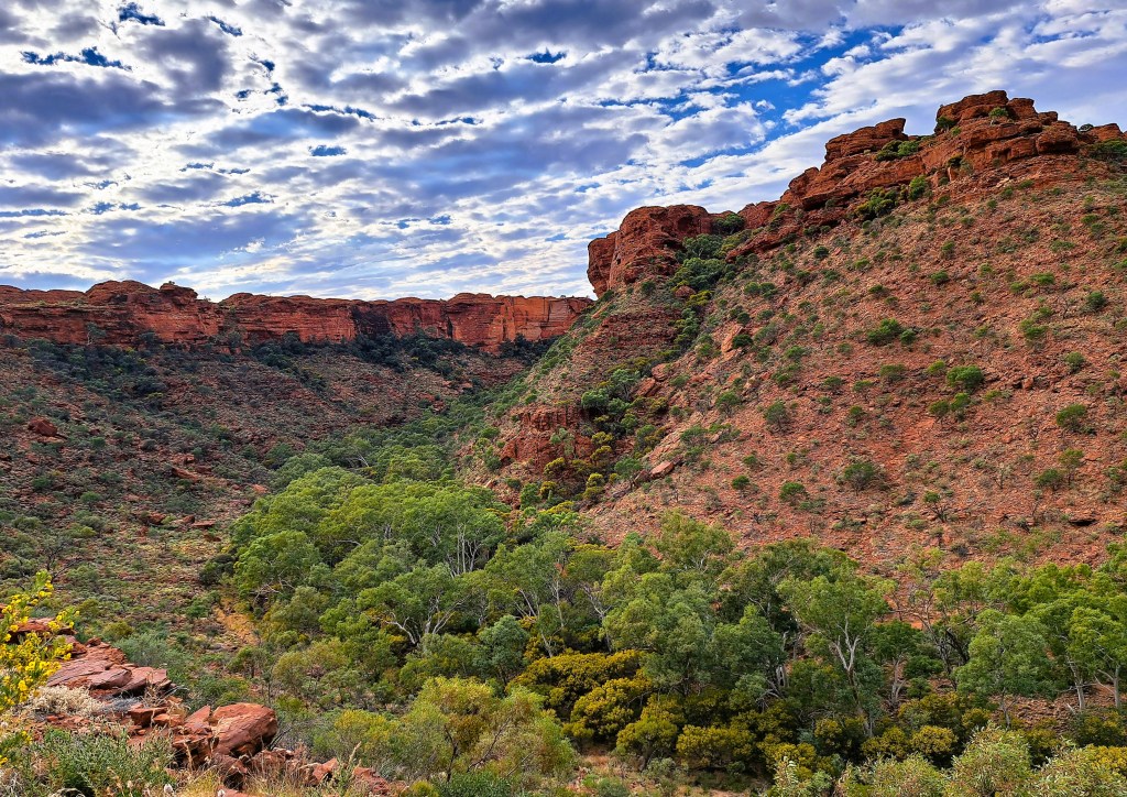
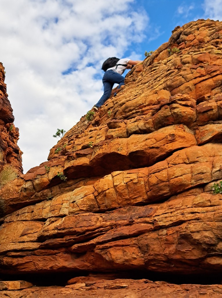
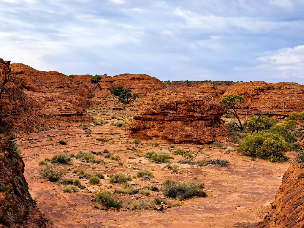
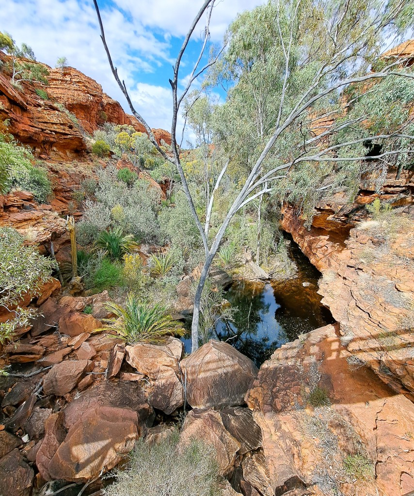
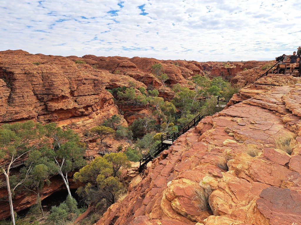
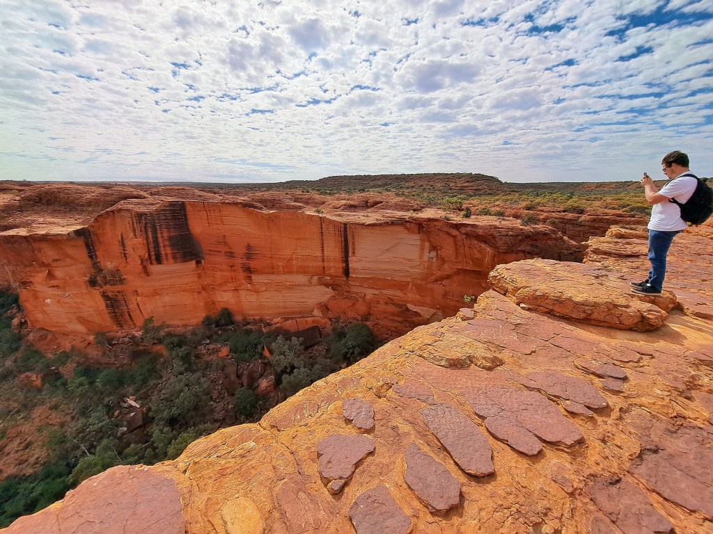
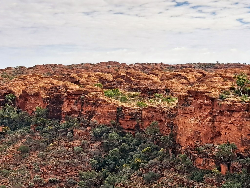
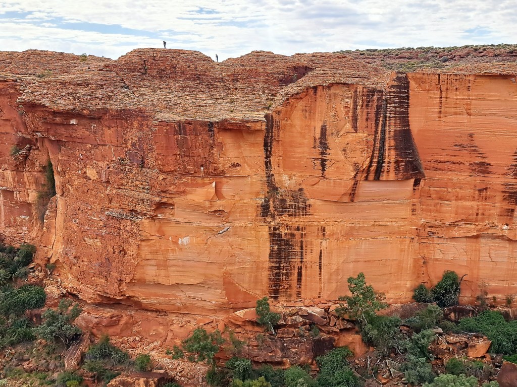
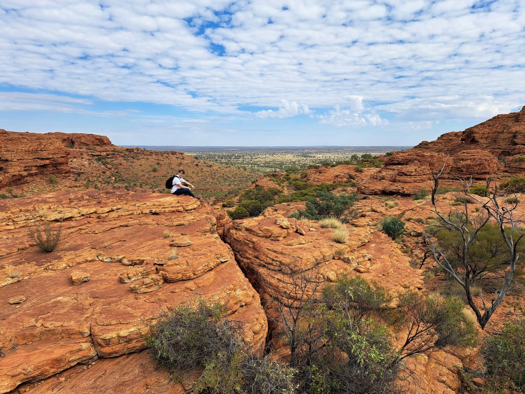
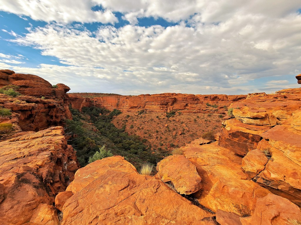
Kings Canyon is located about halfway between Alice Springs and Uluru, by road its about 470 km from Alice. The canyon has been cut 100 m deep into the layered sandstone and shale over a period of 400 million years, creating one the most spectacular landscapes in central Australia. We climbed 500 steps to the western canyon rim, then walked through the dome-like sandstone formations of the “Lost City”, crossing over to the other side of the canyon at a waterhole known as the Garden of Eden, before returning along the eastern rim of the canyon and back down to the bottom of the gorge.

Looking towards Kings Canyon
Nearing the northern rim of the Canyon
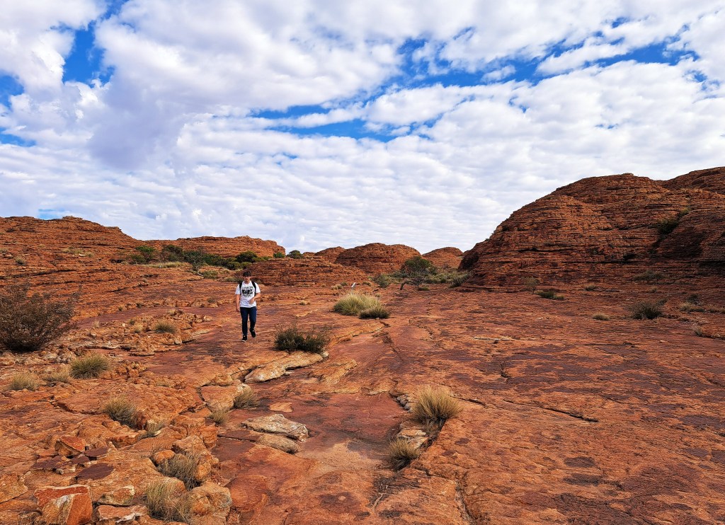
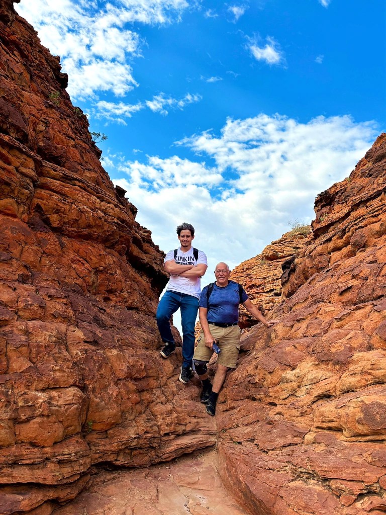
Felix and Colin
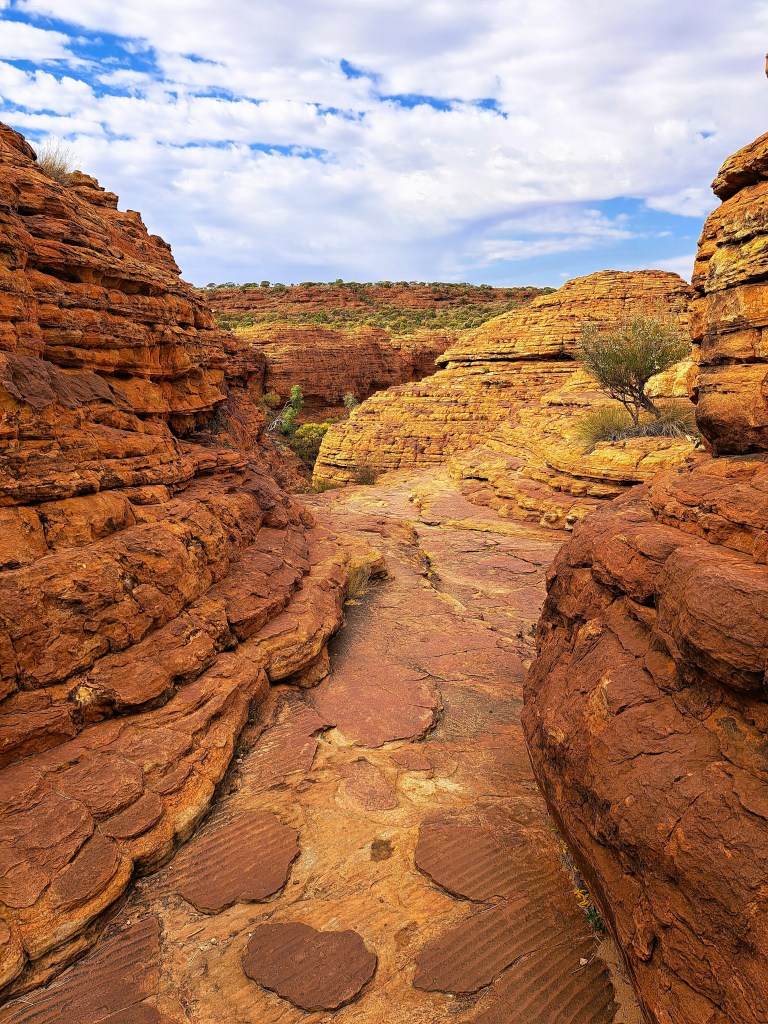
In the Lost City
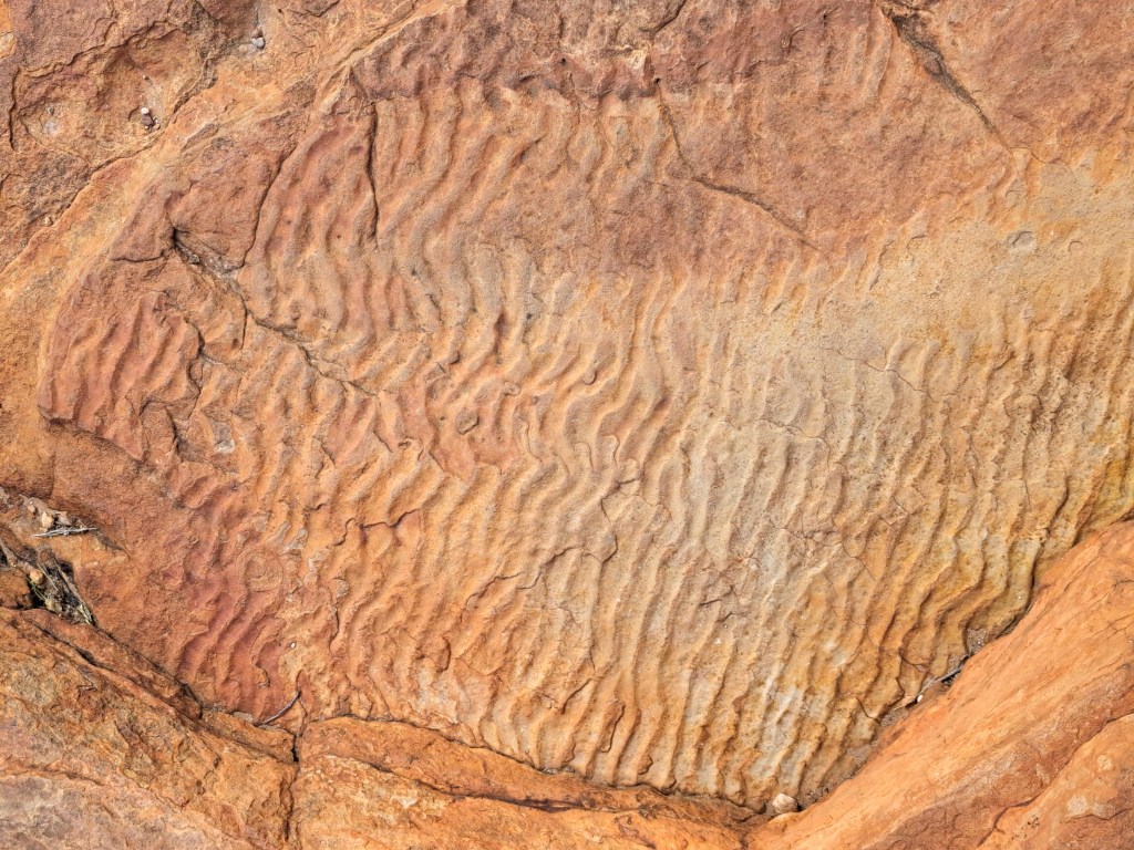
These ripples in the sandstone were formed in the shallow
waters of a long extinct sea 400 million years ago.
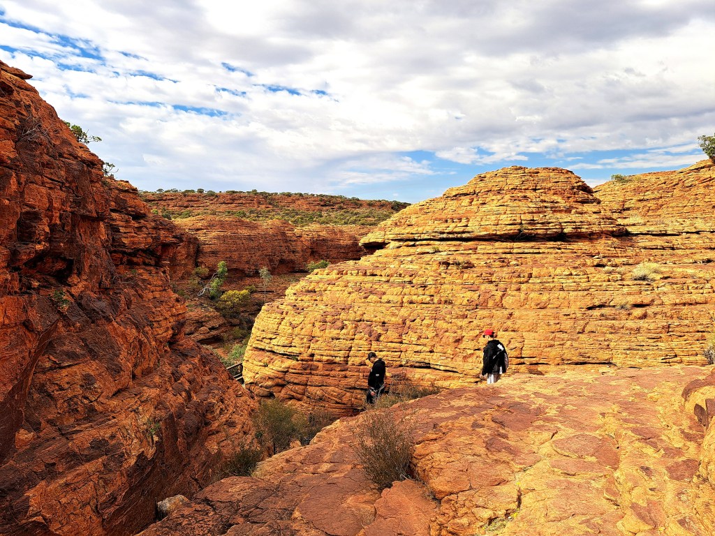
Felix in the Lost City
Starting the descent into the canyon to the “Garden of Eden”
Garden of Eden
Stairs ascend to the southern rim of the canyon from the Garden of Eden
On the southern rim
Looking across the canyon to the Lost City
The start of the descent back to Kings Creek

We descended to the Kings Creek level and drove back to Kings Creek Station for the night, before heading towards Uluru (Ayers Rock) the next day.

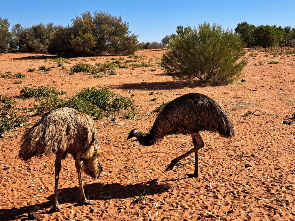
Emus near Kings Creek Station
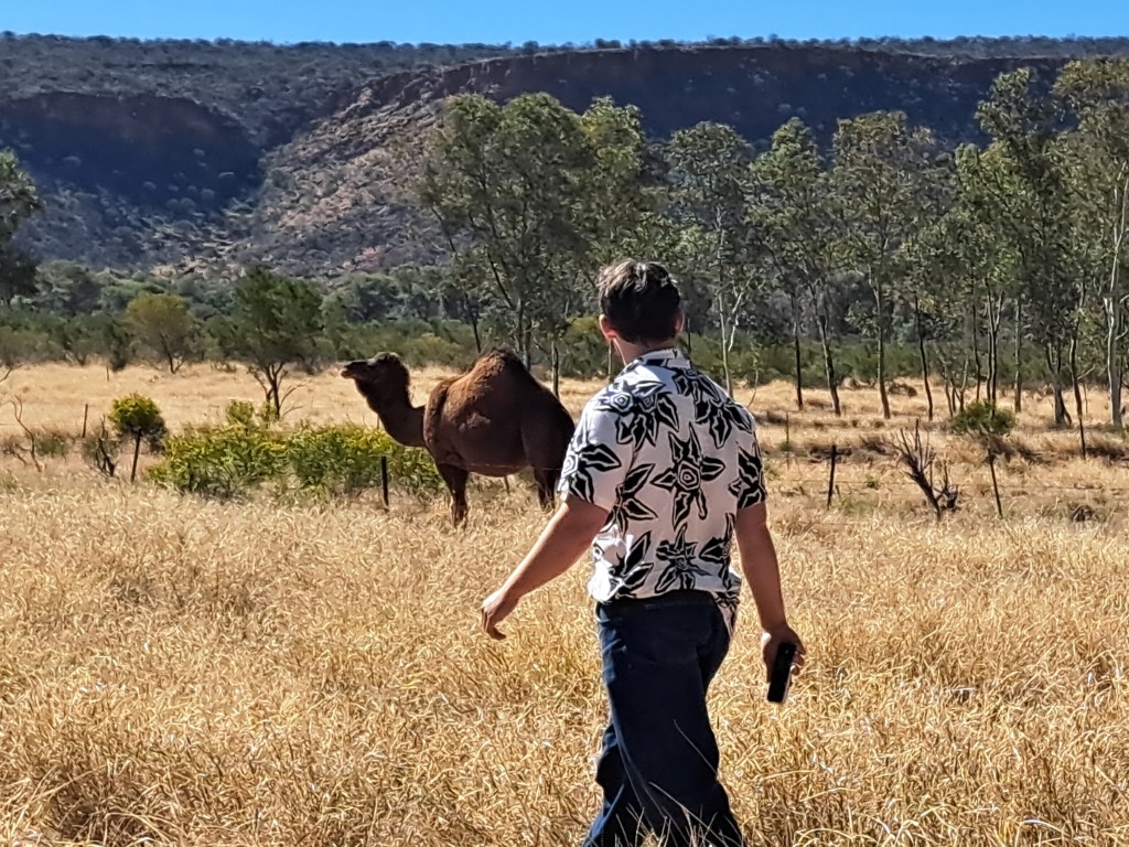
There were also several camels grazing near the station
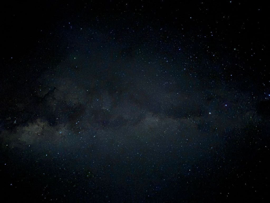
There was no light pollution in the desert at night and the stars were spectacular. Felix took this photo of the Milky Way with his iphone, handheld with a 10 second exposure.

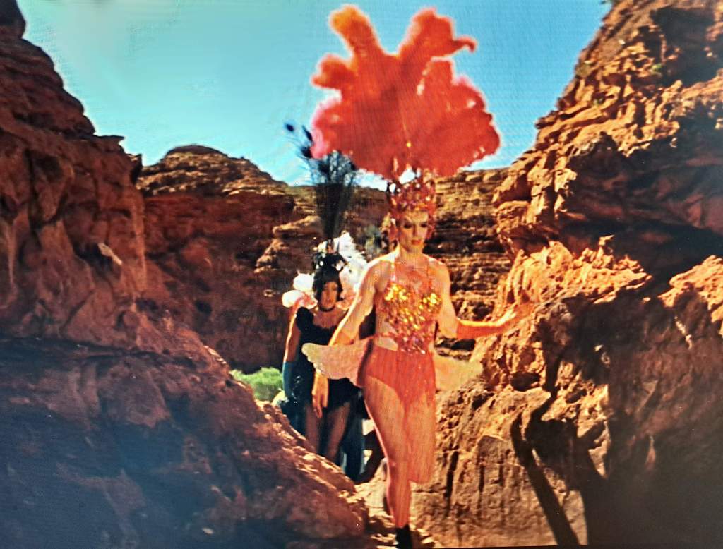
When we returned to Switzerland, I told Felix we needed to watch The Adventures of Priscilla Queen of the Desert, a great 1994 Australian movie in which two drag queens and a transgender woman travel through outback Australia and visit some of the places we had just seen. So we both watched it and realized that the climactic scene where drag queens Tick, Felicia, and Bernadette climb to the a cliff and gaze across the landscape was filmed at Kings Canyon and we recognized the path they climbed to the top of Kings Canyon. We even walked through the narrow chasm in the photo below from the movie. Its now known as “Priscilla’s Crack.”

The drag queens in Priscilla’s Crack 31 years ago. The lead character in red is played by Hugo Weaving, who went on the play Elrond in The Lord of the Rings movies.

In the penultimate scene of the film, the trio stand triumphant on top of Kings Canyon’s south wall; they’ve survived not only the hike, but the existential threat of bringing Sydney’s drag culture to the outback. The grandeur of the 400-million-year-old landscape in the sweeping panorama only magnifies the accomplishment. “It never ends, does it? All that space,” Terence Stamp’s character, Bernadette, remarks.

A visit to Kings Canyon in Central Australia – Part 1

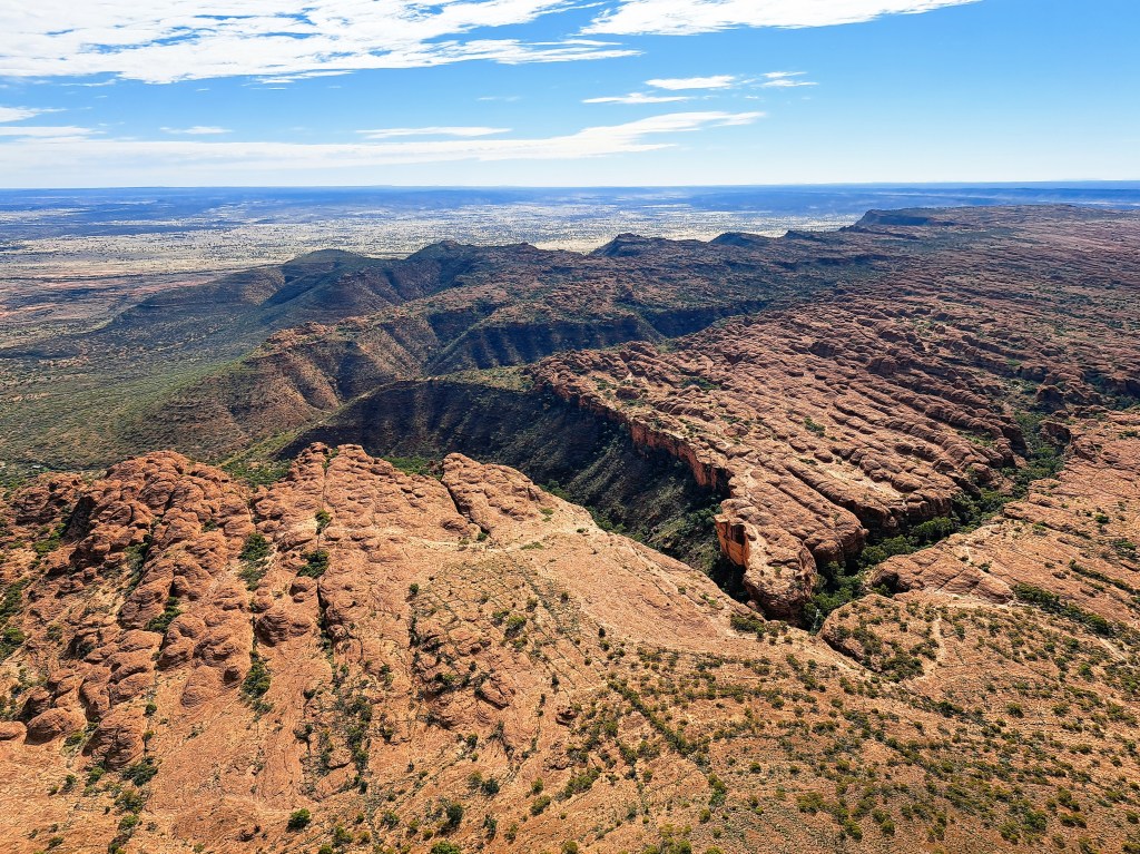
After visiting the West McDonnell Ranges (see previous post), we headed for Kings Canyon, which I had not visited before. Kings Canyon is located about halfway between Alice Springs and Uluru, by road its about 470 km from Alice. The canyon has been cut 100 m deep into the layered sandstone and shale over a period of 400 million years, creating one the most spectacular landscapes in central Australia.

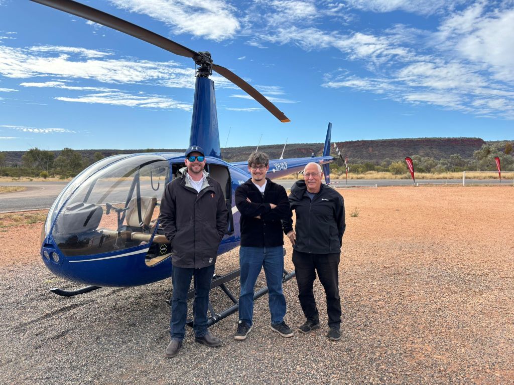
We had booked a tent for two nights at Kings Creek Station, about 36 km before Kings Canyon. When we got there, we discovered that they had a small helicopter, and arranged to take a flight over Kings Canyon. This was Felix’s first time in a helicopter, and it was the smallest I had ever been in. The pilot took the doors off it so we could have unobstructed views.

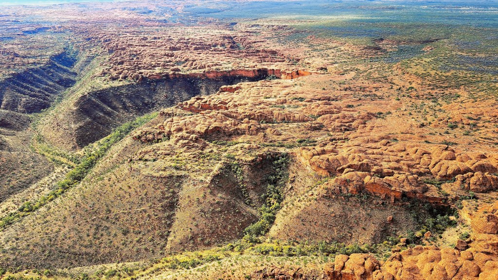
Below is a short video and a few photos from the air. The views were spectacular. It was extremely windy in the open helicopter as we were flying at 180 km/hr and there were strong cross-winds. It was quite exhilarating to be flying with the wind buffeting us and essentially just a framework of metal around us open to the sky around us and the ground below.

Kings Canyon

A visit to the West McDonnell Ranges of Central Australia

My younger son Felix and I visited relatives in Australia in July last year. In the last week of our trip, I took Felix to the “red centre” of Australia to explore some of the spectacular desert and mountain scenery. I have visited central Australia a number of times when I was younger, with trips to Alice Springs and Uluru (Ayers Rock), Katherine Gorge and the Arnhem Land Escarpment. Felix is an Australian by descent, but had never visited the centre before.

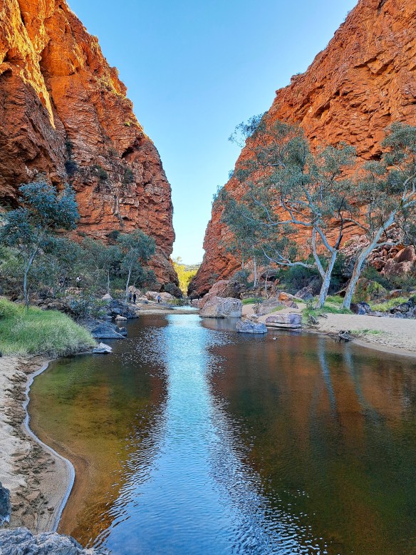
We flew from Brisbane to Alice Springs to spend ten days in the Northern Territory. We hired a four-wheel drive car for a week, and spent our first day exploring Alice Springs. We then spent a day in the West MacDonnell Ranges, driving 140 km west of Alice Springs and visiting some of the many spectacular gaps and gorges as well as areas of Aboriginal significance.

Simpson’s Gap, 24km from Alice Springs. The rock walls are home to the rare and endangered Black-footed Rock Wallaby. Felix managed to spot one when he was scrambling around.
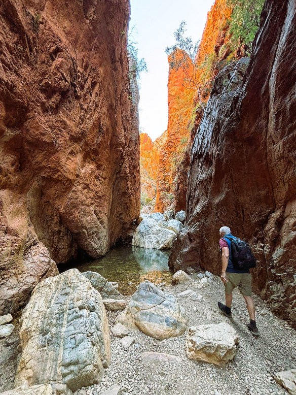
Standley Chasn is a 25 minute walk along a natural creek bed from the road head, through acaciasm cycads and ghost gums, until the dramatic 80m sheer rockfaces of the Chasm are reached.
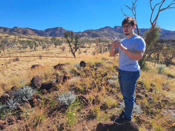
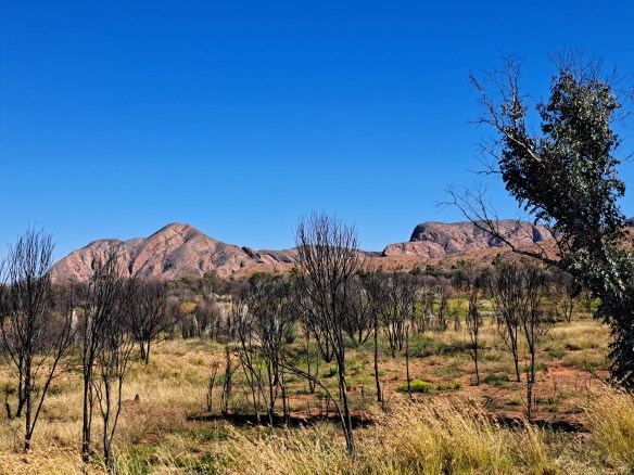
MacDonnell Ranges in the distance
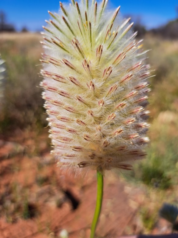
The Dryland Feather-Head (Ptilotus xerophilus) was only recognized as a separate species restricted to central and western Australian in 2019, distinct from a similar eastern Australian species.
Although they rise only 400-500 metres from the surrounding mulga scrub, the highest peak in the McDonnells, Mount Giles) is Australia’s 3rd highest mountain above sea level, at 1,389m.
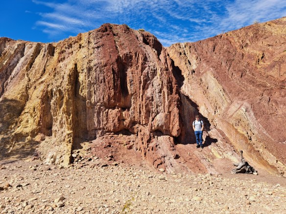
The Ochre Pits is an Aboriginal sacred site. The rock walls are covered with layers of red, yellow and white ochre.It provides material traditionally uised for ceremonies and trading.
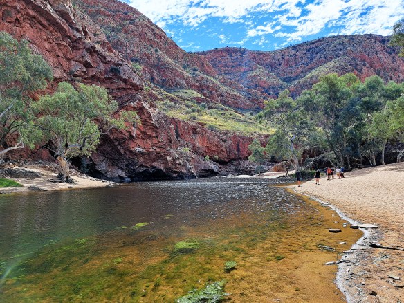
Ormiston Gorge is 136 km from Alice Springs and contains a quite large semi-permanent waterhole. A great place for a swim on a hot day.
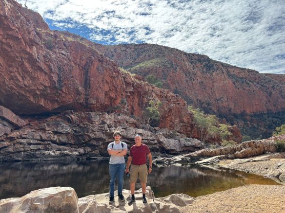
Felix and I at Ormiston Gorge

We drove a little further on from Ormiston Gorge to the Finke River crossing, then turned back to head to Alice Springs, stopping on the way at Serpentine Gorge and Ellery Creek Big Hole. I have to say, despite the spectacular beauty of the places we had already visited, I was blown away by Serpentine Gorge. We climbed a steep path to the top of the eastern wall of the gorge, and the views in all directions were stunning. Felix and I saw another rare Black-Footed Wallaby quite close to us on a rock near the rim of the cliff.

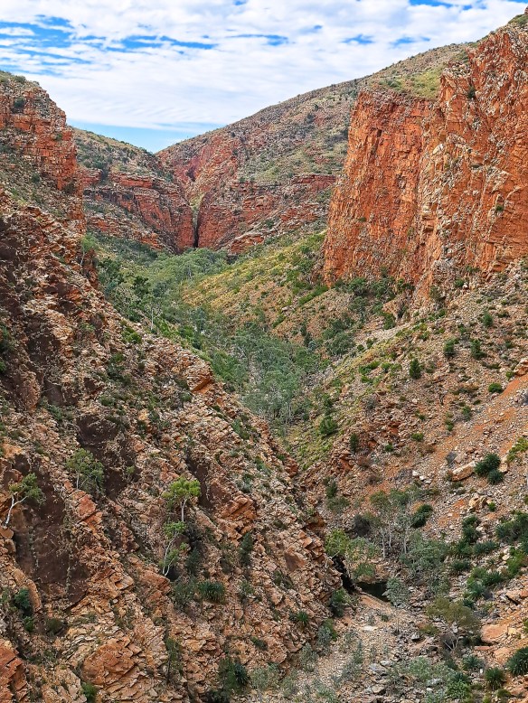
Serpentine Gorge
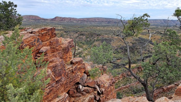
View south from Serpentine Gorge
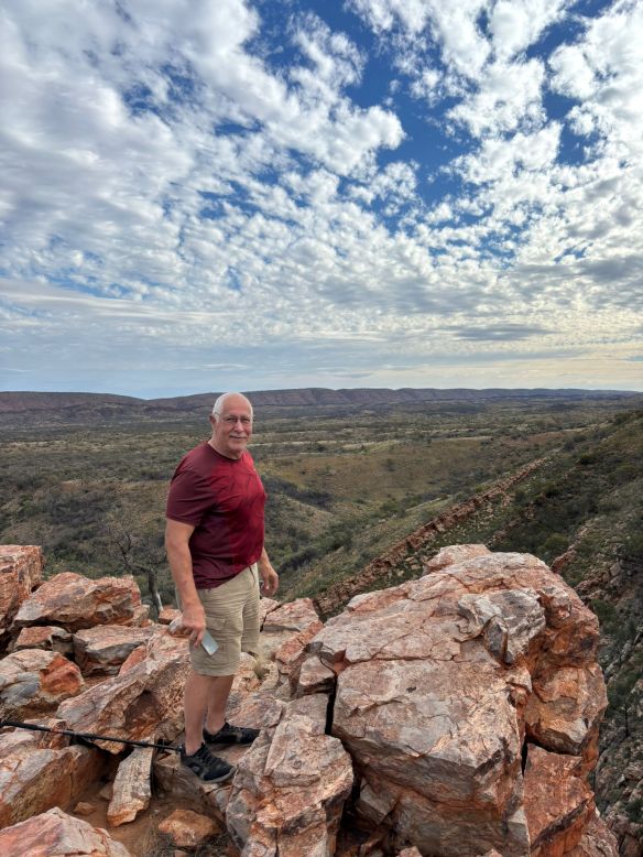
Me on the rim of the gorge, and the view towards the west.
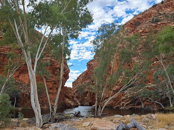
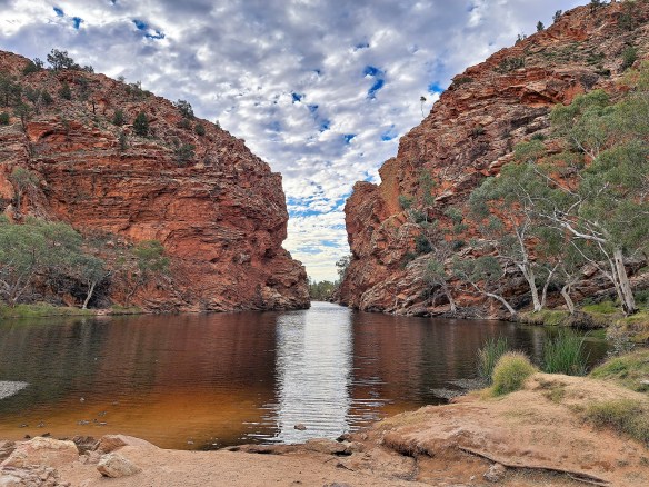
Ellery Creek Big Hole

To be continued…..as we head south west towards Kings Canyon.

Skiing in the French Alps

I spent the first week of January at Les Gets in the French Alps during the unseasonal spring weather. No snow and no lifts running. We drove 20 minutes further up the valley to ski on two-week old heavy wet snow at Avoriaz, and a couple of days it was even raining on the snow. A taste of what global warming has in store for us.

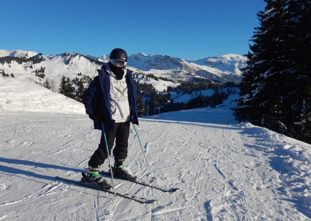
Over the last week, it has snowed heavily on the mountains around Geneva, and in Geneva itself. So my younger son and I went up to Les Gets for the day and had a wonderful day skiing on fairly fresh snow in brilliant sunshine. The temperature was about -6 C when we got there about 9.30 am and rose to a little above zero in the middle of the day in the sunshine. Here are some photos.

My son is ready for a day skiing
Continue reading

Near Death Experiences – Part 2

In my first post on near-death experiences (NDE), I recalled two incidents where I was knocked unconscious and would never have known if I had died (which was by no means unlikely). The following two incidents are quite different. In both cases I fell off a cliff and was fully conscious till I hit the ground below.

Continue reading

Christmas skiing in the Swiss Alps

A couple of days before Christmas, my younger son invited me to join him for a day skiing in the Swiss Alps.  Champéry lies in a side valley of the Rhone valley under the Dents du Midi (“Teeth of Noon”) mountain range. I’d last skied there years ago (see earlier post). At less than a day’s notice, I rang the hotel he was staying at and booked a room for the night. The hotels and the ski slopes were half empty because of the Covid travel bans, particularly for the many British who had planned ski holidays in Switzerland and nearby France.

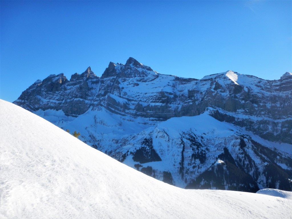
Les Dents du Midi (Teeth of the Noon)
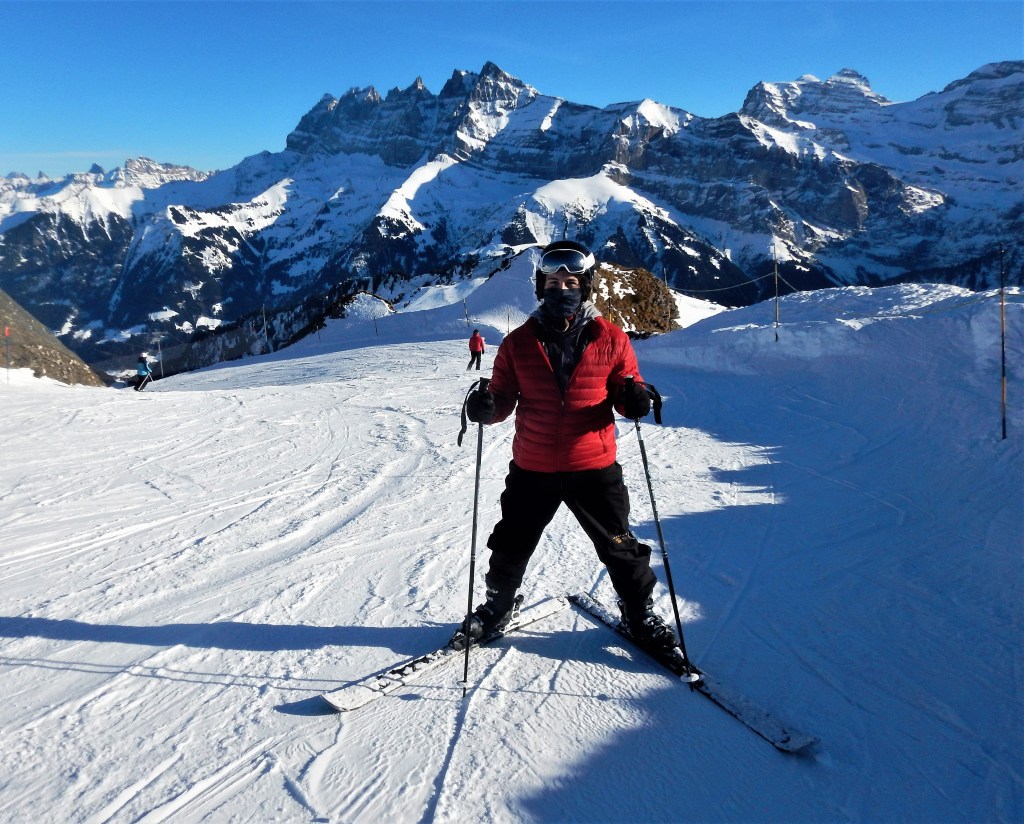
My son at around 2000 m with the Dents du Midi behind him.
Continue reading

Conquest of the Wall of Death

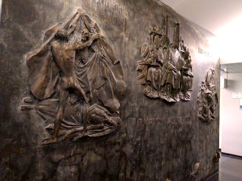
Not far down the corridor from my office in WHO was a floor-to-ceiling bronze relief sculpture showing the struggle of Man against Death. It was a gift to WHO from the Vatican in 1966, and was located very appropriately, given that a major focus of my unit was to monitor trends and improvements in death rates and their causes.

The floor to ceiling sculpture occupies the wall of a corridor joining the two main office corridors on the 3rd floor of the WHO Headquarters in Geneva.It is approximately 5 metres wide and 3.5 metres tall.
Continue reading