This is my fourth post on the World War I battlefields where my grandfather Will Mathers (1893-1953) served from 1916 to1918. See here, here, here, and here for previous posts.
After Flanders, Tom and Will spent December 2017 until March 2018 well behind the front lines near Boulogne-sur-mer in the Pas-de-Calais. They were sent to the front at Villers-Bretonneux in late March 1918.
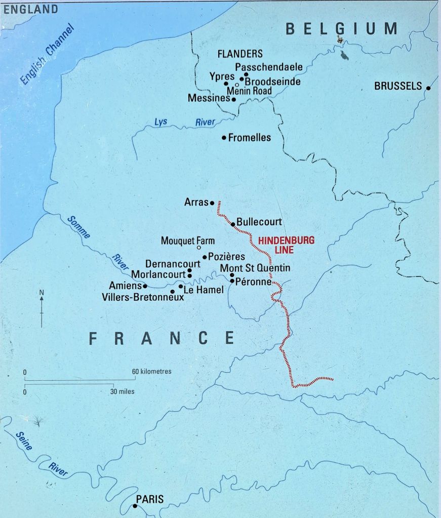
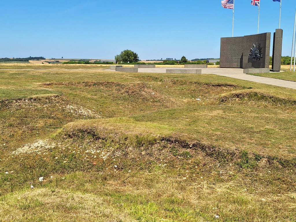
The Germans pushed the front line to Le Hamel and Villers-Bretonneux in March-April 1918
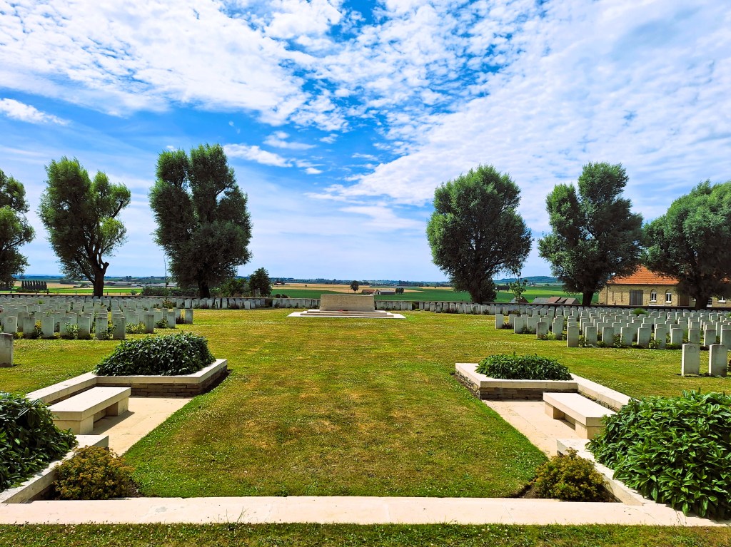
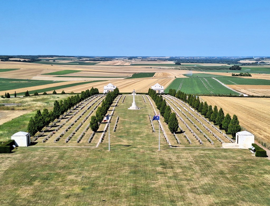
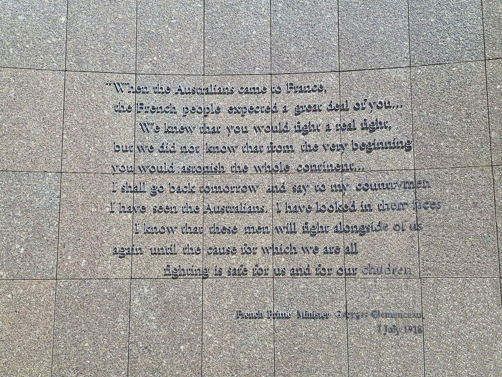
On 21 March 1918, the Germans launched an offensive against Allied forces around the Somme. Within two weeks they had advanced around 65 km, but were halted at Villers-Bretonneux by British and Australian troops on 4 and 5 April 1918. On 24 April, a renewed German attack captured the town, but that night the 13th and 15th Australian Brigades counter attacked from the north and south, driving the Germans from the town and nearby woodland. These battles were fought across the ground on which the Villers-Bretonneux Military Cemetery now stands.
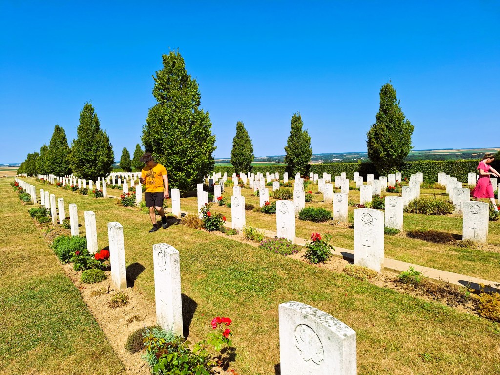
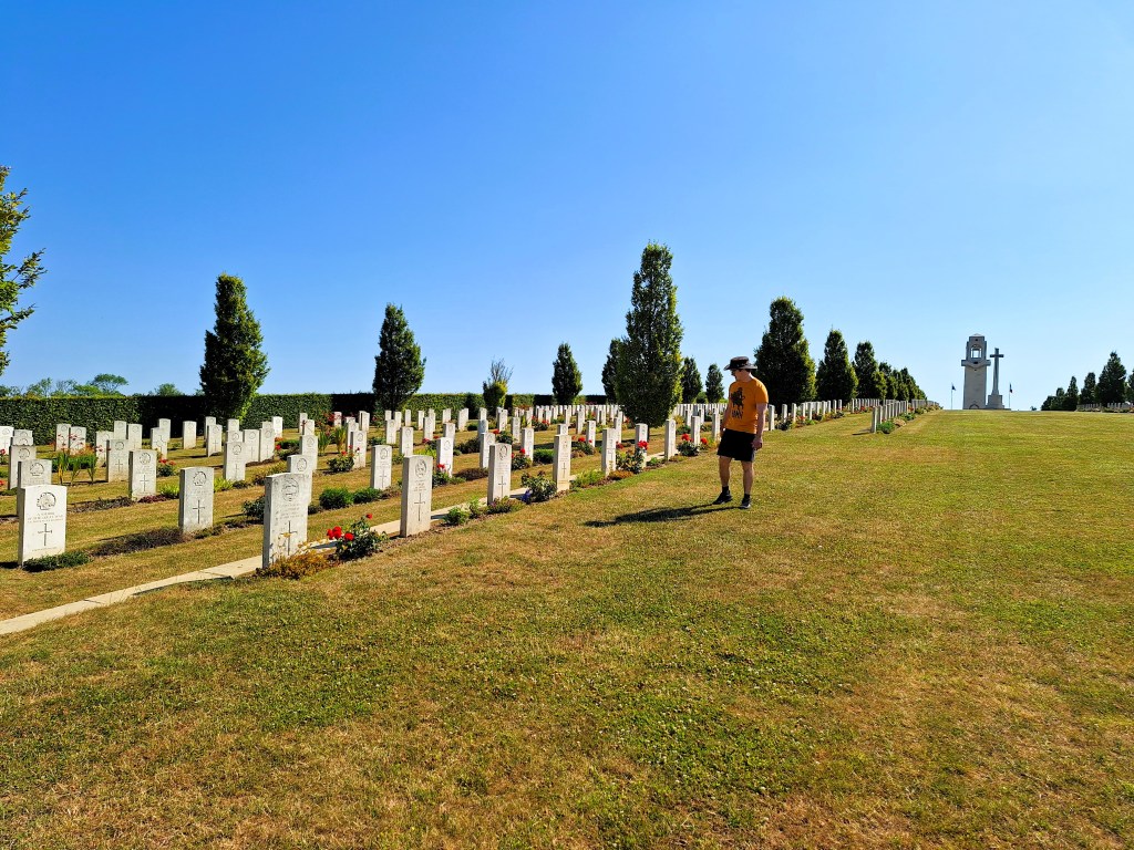
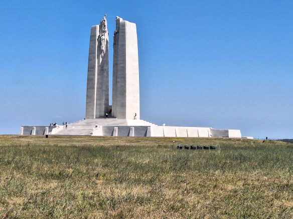
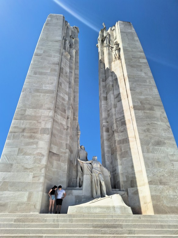
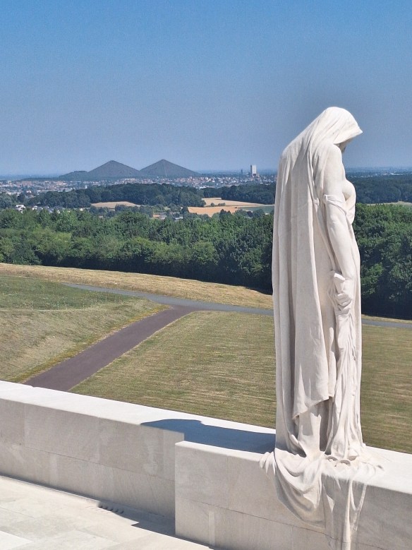
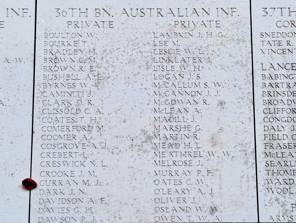
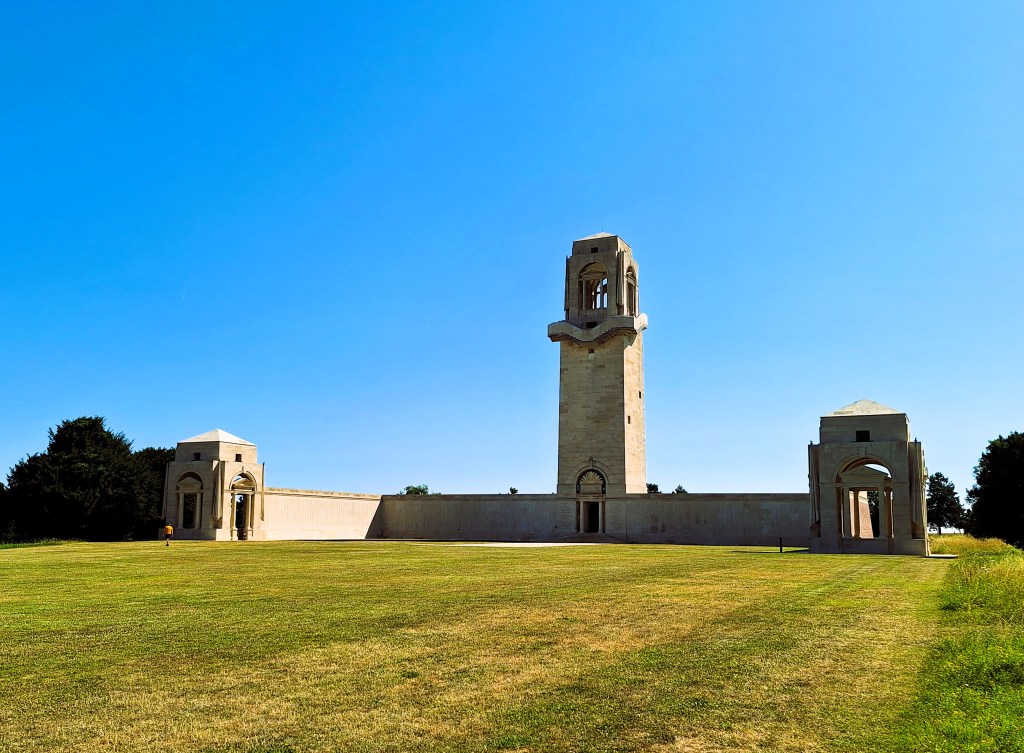
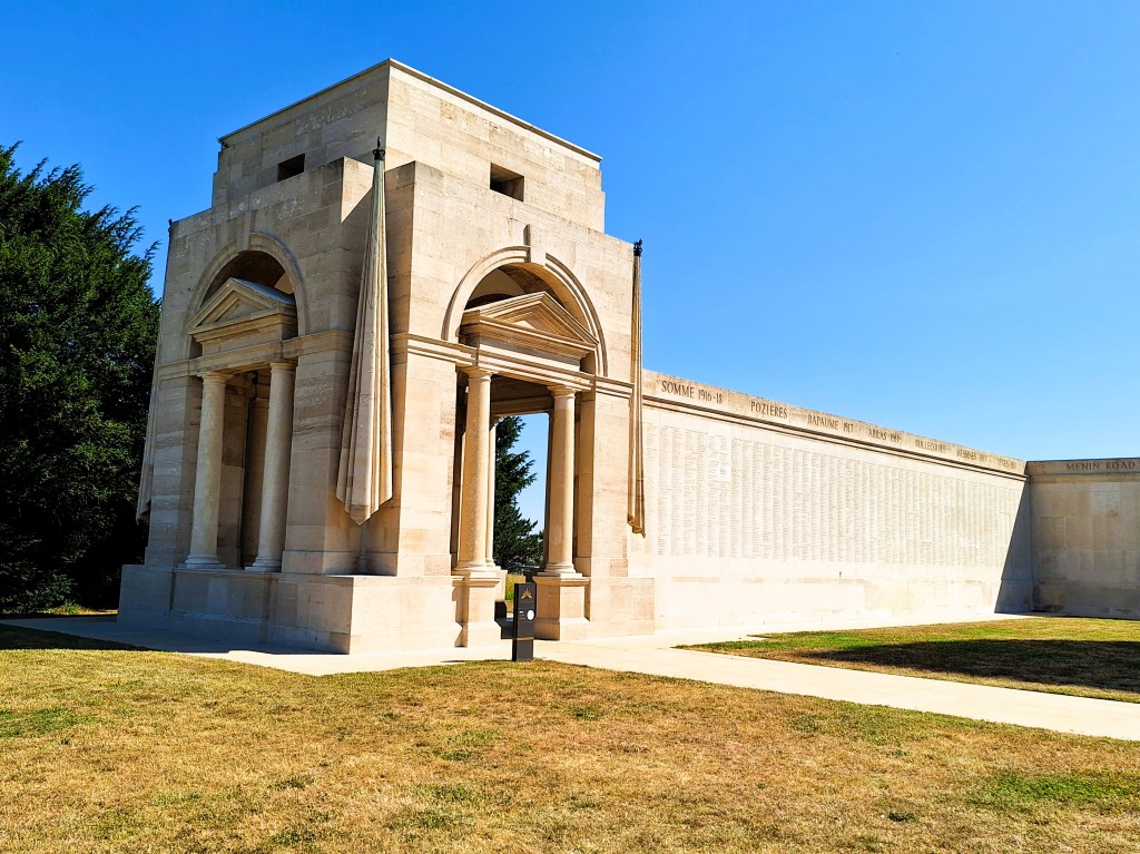
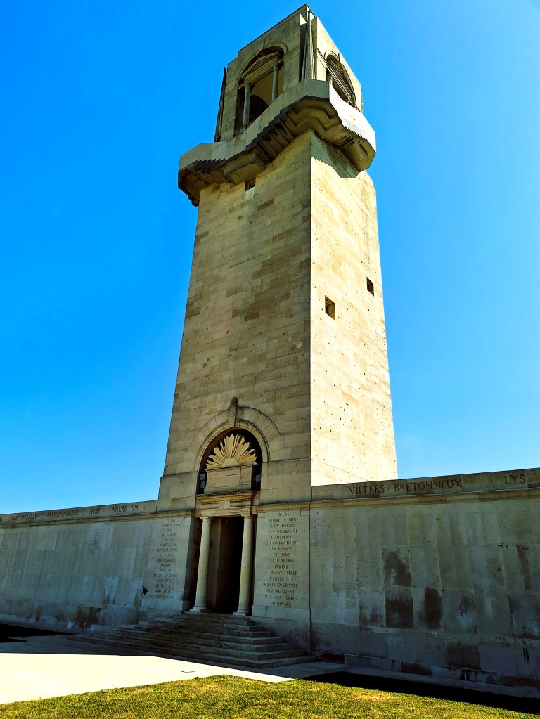
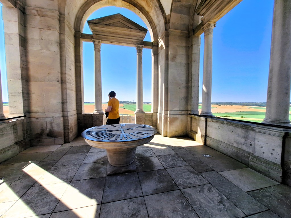
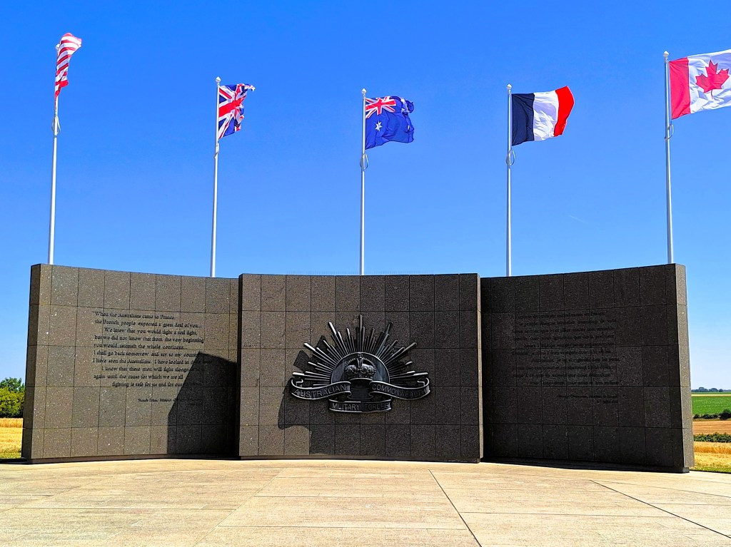
The Cemetery contains more than 2100 graves of Commonwealth servicemen of the First World War, of whom more than 600 remain unidentified. At the back of the cemetery is the Australian National Memorial, which honours the Australian soldiers who served in France and Belgium. It consists of a central tower, with spectacular views of the surrounding countryside, flanked by wing walls commemorating the 10,796 Australian who died in France and who have no known grave. Along the upper edges of the Memorial, the battle honours of major engagements involving Australian troops in France and Belgium are inscribed.
On 21 April, 1918 the 8th Australian Field Ambulance, including Will and Tom, were sent to relieve the 15th Australian Field Ambulance at Hamelet, a village a few kilometres north-east of Villers-Bretonneux. The German air ace Baron von Richthofen (the Red Baron) was shot down nearby on that day. The field where he crashed is across the road from the Australia Corps Memorial (see further below).
The Red Baron was the top German air ice of the First World War. With some 80 victories to his name, he shot down more aircraft in the war than any other pilot. His name re refers to his red Fokker triplane. His squadron was known as the Flying Circus, many decades later inspiring the name Monty Python’s Flying Circus. On the morning of 21st of April 1918, the red Baron was pursuing a British aircraft, and had another Canadian aircraft on his tail. He flew extremely low and was killed by machine gun fire from the 24th Australian Machine Gun Company.
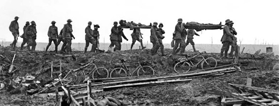
Two days later, Will and Tom were both gassed on the battlefield, and Will and Tom were gassed a second time on 30 April, suffering gas burns all over their bodies. After a couple of weeks to recover, they manned an aid post at Villers-Betonneux, carrying men back to the post from the front line under heavy shelling.
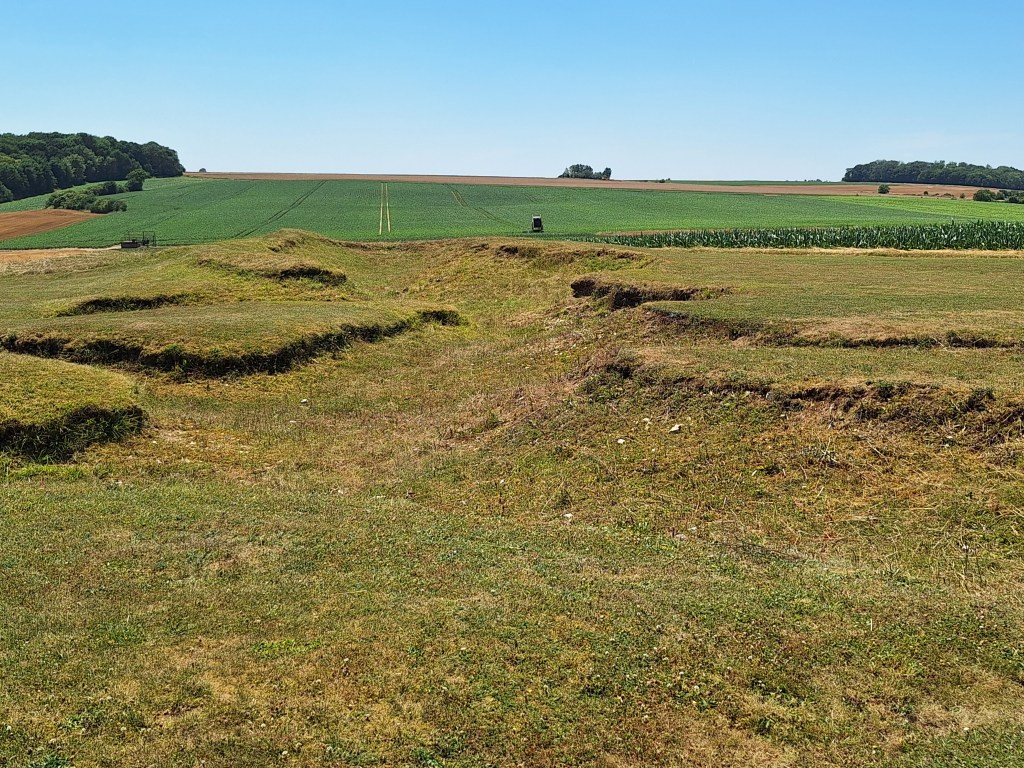
The Australia Corps Memorial is on a slight rise to the east of the village of Le Hamel. The memorial honours all those who served with the AIF in France and Belgium and bears the names of nearly 11,000 of their number who fell in France and have known no one grave. Around 3800 of those named here were killed during the battle of the Somme in July and August 1916. Another further 2800 fell in April and May 1917 at Bullecourt (Battle of the Hindenburg Line) and more than 2100 were lost in 1918 in the Battle of Le Hamel.
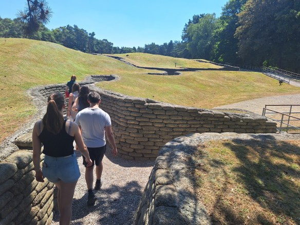
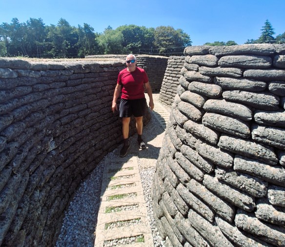
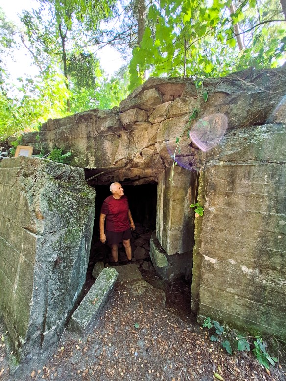
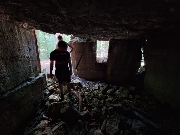
The Australia Corps Memorial is located at a section of German trenches, known to them as Wolfsburg, captured by the Australians early in the morning on 4 July 1918. The Australians occupied these trenches for about five weeks until they attacked from here in the great Battle of Le Hamel on 8 August 1918.
At 4:20 am on 8 August 1918, around 50,000 Commonwealth, French and American troops began a surprise assault on German lines to the east of armies. To give the newly arrived American Expeditionary Force (AEF) combat experience, the five Australian infantry brigades involved were augmented by four companies from US Army battalions. Hamel was the first time during the war that American soldiers were commanded operationally by non-American officers.
Attacking through dense fog they were well equipped with Lewis guns, trench mortars and rifle launched grenades. A creeping artillery barrage helped to shield the infantry, while enemy guns were silenced by gas and explosive shells. Assisting the assault troops were more than 550 armoured vehicles, including new Mark 5 and fast Whippet tanks which had moved into position in secret, their engine noise disguised by aircraft flying overhead. The Germans assumed the planes were trying to give them a sleepless night but had no clue about the coming attack.
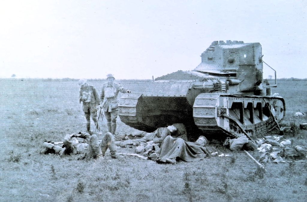
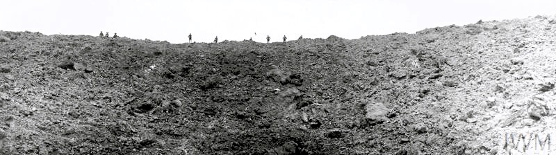
sheltered beside a British Tank on August 9th, 1918. Australian War Memorial E02880.
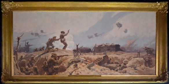
General Sir John Monash (1865-1931) was an Australian civil engineer who took part in the Gallipolo campaign and in May 1918 became commander of the Australia Corps, at that time the largest corps on the Western Front. Monash planned a combined campaign of infantry and armoured vehicles, including 60 combat and four supply tanks. The plan called for a creeping barrage in which the artillery barrage moves slowly in front of the advancing troops, protecting them by keeping the defenders under cover. Monash was adamant that infantry should not be sacrificed in an unprotected advance. The objectives were all achieved in 93 minutes, three minutes longer than Monash’s calculated battle time. The Battle of Le Hamel has since become famous as a model for a completely successful all-arms attack.
The Allies consolidated their new positions during the day and advanced another 300 metres during the night. In the morning of 5 August, they took another 700 German prisoners. The Germans counter-attacked at 22:00 that night supported by phosgene and mustard gas bombardments. At 2 am on 6 July, the two Australian battalions and the attached Americans counter-attacked and overwhelmed the experienced German storm-troopers with grenades and clubs. The shocked Germans were forced back, restoring the Allied line and releasing captured Australian stretcher-bearers.
Over 4 days of fighting the Allies advanced as far as 13 kilometres in places. Some 20,000 Commonwealth soldiers were killed or wounded. The French army suffered around 24,000 casualties. Total German casualties may have been as high as 75,000, including more than 30,000 taken prisoner. Over the following weeks, a series of hard fought battles took place over the plains and uplands of the Somme, and by mid September, the Allies had recovered all the territory they had lost in March. The advance begun here did not cease until the Armistice.
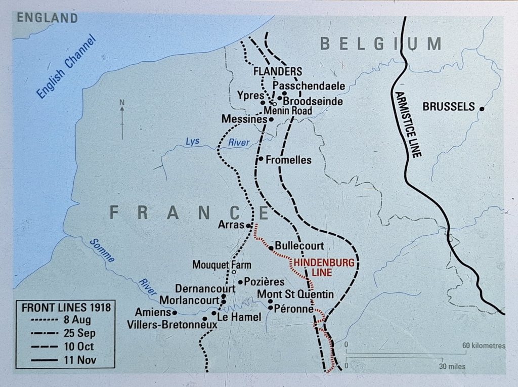
From 5 August to 12 September 1918, Will and Tom followed the fighting on the front line, from Mericourt and Raincourt to Le Hamel and on to Péronne. They slept where they could, in a field, in a trench, in sump holes. There were thousands of prisoners and booty. On 4 September, Will was at Péronne and was wounded in the leg by shrapnel but remained on duty. On 10 September they were relieved by 13th Australian Field Ambulance and marched out.
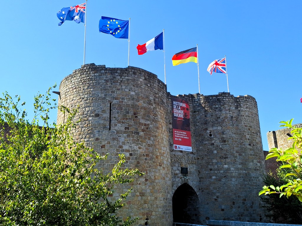
For the two days we spent on the Somme, we stayed in the centre of the Old Town of Péronne, a 100 metres from the Chateau de Péronne, now housing a major museum of the First World War. On our second day, we spent a couple of hours in the museum, well worth a visit. The next morning we headed north back to German-occupied Belgium.